Area Overview for SY2 5DT
Photos of SY2 5DT
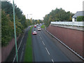
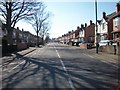
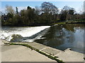
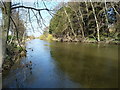
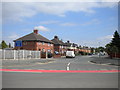
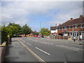
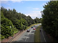
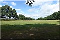
100 photos from this area
Area Information
Key information about the SY2 5DT including its size, population, and administrative classification.
- Area Type
- Postcode
- Area Size
- 1.4 hectares
- Population
- 1362
- Population Density
- 3256 people/km²
House Prices in SY2 5DT
25
Properties
£426,041
Average Sold Price
£60,000
Lowest Price
£840,000
Highest Price
Showing 25 properties
| Address | Type | Beds | Baths | Last Sale Price | Last Sale Date | |
|---|---|---|---|---|---|---|
| 54 Underdale Road, Shrewsbury, SY2 5DT | house | 4 | 1 | £510,000 | Mar 2025 | |
| 37 Underdale Road, Shrewsbury, SY2 5DT | house | 6 | 4 | £840,000 | Feb 2025 | |
| 46 Underdale Road, Shrewsbury, SY2 5DT | house | - | - | £572,500 | Nov 2023 | |
| 49 Underdale Road, Shrewsbury, SY2 5DT | Semi-detached | 5 | 2 | £600,000 | Feb 2021 | |
| 51 Underdale Road, Shrewsbury, SY2 5DT | Detached | 6 | 2 | £430,000 | Jan 2019 | |
| 41 Underdale Road, Shrewsbury, SY2 5DT | Detached | 3 | 1 | £432,500 | Aug 2018 | |
| 56 Underdale Road, Shrewsbury, SY2 5DT | Detached | 4 | 2 | £360,000 | Apr 2018 | |
| 45 Underdale Road, Shrewsbury, SY2 5DT | house | - | - | £425,000 | Oct 2015 | |
| 43 Underdale Road, Shrewsbury, SY2 5DT | house | - | - | £379,950 | Oct 2013 | |
| 40 Underdale Road, Shrewsbury, SY2 5DT | Terraced | - | - | £60,000 | Feb 2001 |
Page 1 of 3
Energy Efficiency in SY2 5DT
Amenities
Schools
| Rank | School | Type | Entry gender | Ages |
|---|
Explore more schools in this area
Go to Schools tabDemographics
Household Size
One person
most common
Accommodation Type
Houses
most common
Tenure
61
majority
Ethnic Group
White
most common
Religion
N/A
most common
Household Composition
N/A
most common
Age
47
median
Adults (30-64 years)
most common
Household Deprivation
N/A
with no deprivation
NS-SEC
46
in Lower managerial occupations
Explore more demographic insights in this area
Go to Demographics tabPlanning
Planning Constraints
- Flood RiskPremium
- Ramsar Wetland SitesPremium
- Area of Outstanding Natural BeautyPremium
- Protected Nature ReservePremium
- Protected WoodlandPremium