Area Overview for SY13 4NU
Photos of SY13 4NU
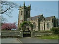
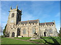
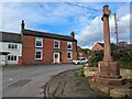
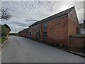
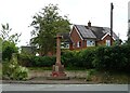
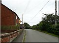
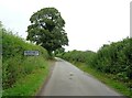
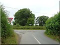
19 photos from this area
Area Information
Key information about the SY13 4NU including its size, population, and administrative classification.
- Area Type
- Postcode
- Area Size
- 45.7 hectares
- Population
- 1629
- Population Density
- 24 people/km²
House Prices in SY13 4NU
10
Properties
£553,750
Average Sold Price
£165,000
Lowest Price
£1,650,000
Highest Price
Showing 10 properties
| Address | Type | Beds | Baths | Last Sale Price | Last Sale Date | |
|---|---|---|---|---|---|---|
| School House, Church Street, Ightfield, SY13 4NU | Detached | 4 | 3 | £695,000 | Jun 2022 | |
| The Old Rectory, Lea Hall Junction To Burleydam Road Junction, Ightfield, SY13 4NU | house | - | - | £1,650,000 | Aug 2021 | |
| The Gables Farm, Burleydam Road, Ightfield, SY13 4NU | Detached | - | - | £325,000 | May 2019 | |
| Lavender, Church Street, Ightfield, SY13 4NU | house | - | - | £165,000 | Oct 2017 | |
| The Paddock, Church Street, Ightfield, SY13 4NU | house | - | - | £470,000 | Jun 2017 | |
| Church Farm House, Church Street, Ightfield, SY13 4NU | house | - | - | £400,000 | Nov 2016 | |
| Church Barn, Church Street, Ightfield, SY13 4NU | Semi-detached | 6 | 3 | £485,000 | Aug 2004 | |
| The Bungalow, Calverhall Road, Ightfield, SY13 4NU | Detached | - | - | £240,000 | Feb 2004 | |
| The Old School House, Church Street, Ightfield, SY13 4NU | house | - | - | - | - | |
| Church Farm Dairy, Church Street, Ightfield, SY13 4NU | house | - | - | - | - |
Energy Efficiency in SY13 4NU
Amenities
Schools
| Rank | School | Type | Entry gender | Ages |
|---|
Explore more schools in this area
Go to Schools tabDemographics
Household Size
Two person
most common
Accommodation Type
Houses
most common
Tenure
68
majority
Ethnic Group
White
most common
Religion
N/A
most common
Household Composition
N/A
most common
Age
47
median
Adults (30-64 years)
most common
Household Deprivation
N/A
with no deprivation
NS-SEC
35
in Lower managerial occupations
Explore more demographic insights in this area
Go to Demographics tabPlanning
Planning Constraints
- Flood RiskPremium
- Ramsar Wetland SitesPremium
- Area of Outstanding Natural BeautyPremium
- Protected Nature ReservePremium
- Protected WoodlandPremium