Area Overview for SY13 2BW
Photos of SY13 2BW
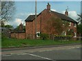
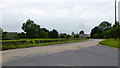
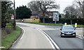
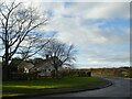
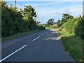
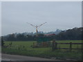
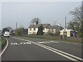

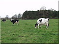
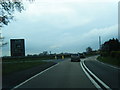
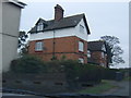
11 photos from this area
Area Information
Key information about the SY13 2BW including its size, population, and administrative classification.
- Area Type
- Postcode
- Area Size
- 25.8 hectares
- Population
- 1712
- Population Density
- 123 people/km²
House Prices in SY13 2BW
7
Properties
£242,500
Average Sold Price
£150,000
Lowest Price
£320,000
Highest Price
Showing 7 properties
| Address | Type | Beds | Baths | Last Sale Price | Last Sale Date | |
|---|---|---|---|---|---|---|
| The Laurels, Wem Lane, Prees Green, Whitchurch, SY13 2BW | house | - | - | £205,000 | Mar 2021 | |
| Rainow, Wem Lane, Prees Green, Whitchurch, SY13 2BW | house | - | - | £295,000 | Aug 2013 | |
| The Old Manse, Wem Lane, Prees Green, Whitchurch, SY13 2BW | house | 3 | - | £150,000 | Mar 2012 | |
| Oaklea Cottage, Wem Lane, Prees Green, Whitchurch, SY13 2BW | house | - | - | £320,000 | Dec 2005 | |
| South View, Wem Lane, Prees Green, Whitchurch, SY13 2BW | Detached | - | - | - | - | |
| Garfield House, Wem Lane, Prees Green, Whitchurch, SY13 2BW | Semi-detached | - | - | - | - | |
| Lilac Cottage, Wem Lane, Prees Green, Whitchurch, SY13 2BW | Detached | - | - | - | - |
Energy Efficiency in SY13 2BW
Amenities
Schools
| Rank | School | Type | Entry gender | Ages |
|---|
Explore more schools in this area
Go to Schools tabDemographics
Household Size
Two person
most common
Accommodation Type
Houses
most common
Tenure
74
majority
Ethnic Group
White
most common
Religion
N/A
most common
Household Composition
N/A
most common
Age
47
median
Adults (30-64 years)
most common
Household Deprivation
N/A
with no deprivation
NS-SEC
29
in Lower managerial occupations
Explore more demographic insights in this area
Go to Demographics tabPlanning
Planning Constraints
- Flood RiskPremium
- Ramsar Wetland SitesPremium
- Area of Outstanding Natural BeautyPremium
- Protected Nature ReservePremium
- Protected WoodlandPremium