Area Overview for SY12 0PP
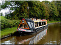
Photos of SY12 0PP
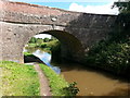
![Lyneal Lane Bridge [No 51], from the west in SY12 0PP](https://images.propbar.co.uk/images/geograph/52/13/5213106_120.jpg)
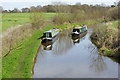
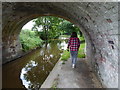


37 photos from this area
Area Information
Key information about the SY12 0PP including its size, population, and administrative classification.
- Area Type
- Postcode
- Area Size
- 17.6 hectares
- Population
- 1396
- Population Density
- 74 people/km²
House Prices in SY12 0PP
14
Properties
£265,856
Average Sold Price
£63,000
Lowest Price
£450,000
Highest Price
Showing 14 properties
Page 1 of 2
Energy Efficiency in SY12 0PP
Amenities
Schools
| Rank | School | Type | Entry gender | Ages |
|---|
Explore more schools in this area
Go to Schools tabDemographics
Household Size
One person
most common
Accommodation Type
Houses
most common
Tenure
61
majority
Ethnic Group
White
most common
Religion
N/A
most common
Household Composition
N/A
most common
Age
47
median
Adults (30-64 years)
most common
Household Deprivation
N/A
with no deprivation
NS-SEC
34
in Lower managerial occupations
Explore more demographic insights in this area
Go to Demographics tabPlanning
Planning Constraints
- Flood RiskPremium
- Ramsar Wetland SitesPremium
- Area of Outstanding Natural BeautyPremium
- Protected Nature ReservePremium
- Protected WoodlandPremium