Area Overview for SY10 9EB
Photos of SY10 9EB
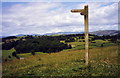
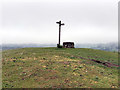
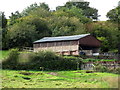
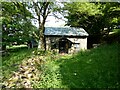
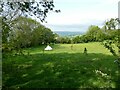
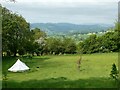
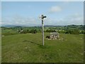
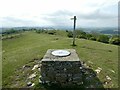
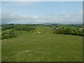
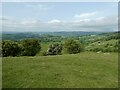
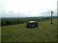
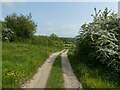
31 photos from this area
Area Information
Key information about the SY10 9EB including its size, population, and administrative classification.
- Area Type
- Postcode
- Area Size
- 1.1 km²
- Population
- 1600
- Population Density
- 60 people/km²
House Prices in SY10 9EB
9
Properties
£217,500
Average Sold Price
£185,000
Lowest Price
£250,000
Highest Price
Showing 9 properties
| Address | Type | Beds | Baths | Last Sale Price | Last Sale Date | |
|---|---|---|---|---|---|---|
| Bwlch Cottage, Ty Canol Junction To Bwlch, Trefonen, SY10 9EB | Detached | - | - | £185,000 | Feb 2003 | |
| Wern, Junction East Of Trefonen Hall To Wern, Trefonen, SY10 9EB | Detached | - | - | £250,000 | Jan 2003 | |
| Beech Corner, Ty Canol Junction To Bwlch, Trefonen, SY10 9EB | Detached | - | - | - | - | |
| Ty Ucha, Junction East Of Trefonen Hall To Wern, Trefonen, SY10 9EB | Detached | - | - | - | - | |
| Ty Canol, Junction East Of Trefonen Hall To Wern, Trefonen, SY10 9EB | Detached | - | - | - | - | |
| Trefonen Hall, New Barn Junction To Junction Trefonen Hall, Trefonen, SY10 9EB | house | - | - | - | - | |
| Annexe At, Bwlch Farm, Ty Canol Junction To Bwlch, Trefonen, SY10 9EB | Detached | - | - | - | - | |
| Holiday Let Log Cabin At, Ty Canol, Junction East Of Trefonen Hall To Wern, Trefonen, SY10 9EB | Detached | - | - | - | - | |
| Bwlch Farm, Ty Canol Junction To Bwlch, Trefonen, SY10 9EB | Detached | - | - | - | - |
Energy Efficiency in SY10 9EB
Amenities
Schools
| Rank | School | Type | Entry gender | Ages |
|---|
Explore more schools in this area
Go to Schools tabDemographics
Household Size
Two person
most common
Accommodation Type
Houses
most common
Tenure
84
majority
Ethnic Group
White
most common
Religion
N/A
most common
Household Composition
N/A
most common
Age
47
median
Adults (30-64 years)
most common
Household Deprivation
N/A
with no deprivation
NS-SEC
41
in Lower managerial occupations
Explore more demographic insights in this area
Go to Demographics tabPlanning
Planning Constraints
- Flood RiskPremium
- Ramsar Wetland SitesPremium
- Area of Outstanding Natural BeautyPremium
- Protected Nature ReservePremium
- Protected WoodlandPremium