Area Overview for SY10 7AS
Photos of SY10 7AS
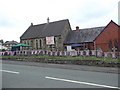
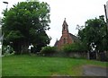
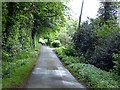
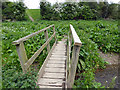
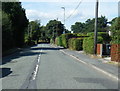
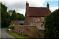
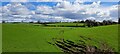
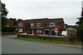
29 photos from this area
Area Information
Key information about the SY10 7AS including its size, population, and administrative classification.
- Area Type
- Postcode
- Area Size
- 1.6 hectares
- Population
- 1269
- Population Density
- 303 people/km²
House Prices in SY10 7AS
14
Properties
£208,857
Average Sold Price
£54,000
Lowest Price
£395,000
Highest Price
Showing 14 properties
| Address | Type | Beds | Baths | Last Sale Price | Last Sale Date | |
|---|---|---|---|---|---|---|
| Cheviot, Rhewl Lane, Rhewl, Gobowen, SY10 7AS | Detached | 3 | 1 | £395,000 | Jun 2022 | |
| Hilltop, Rhewl Lane, Rhewl, Gobowen, SY10 7AS | Retail | 4 | - | £230,000 | Mar 2022 | |
| Greenhill, Rhewl Lane, Rhewl, Gobowen, SY10 7AS | Bungalow | 5 | 2 | £330,000 | Jan 2019 | |
| Denehaven, Rhewl Lane, Rhewl, Gobowen, SY10 7AS | Bungalow | - | - | £155,500 | Jun 2009 | |
| Ael-y-bryn, Rhewl Lane, Rhewl, Gobowen, SY10 7AS | Bungalow | - | - | £177,500 | Oct 2007 | |
| Dogberry, Rhewl Lane, Rhewl, Gobowen, SY10 7AS | Detached | 4 | 3 | £120,000 | Jul 2004 | |
| Oaklea, Rhewl Lane, Rhewl, Gobowen, SY10 7AS | Detached | - | - | £54,000 | May 1996 | |
| Bank Top, Rhewl Lane, Rhewl, Gobowen, SY10 7AS | Bungalow | 3 | 1 | - | - | |
| The Coppice, Rhewl Lane, Rhewl, Gobowen, SY10 7AS | Bungalow | - | - | - | - | |
| Rhoslan, Rhewl Lane, Rhewl, Gobowen, SY10 7AS | Detached | - | - | - | - |
Page 1 of 2
Energy Efficiency in SY10 7AS
Amenities
Schools
| Rank | School | Type | Entry gender | Ages |
|---|
Explore more schools in this area
Go to Schools tabDemographics
Household Size
Two person
most common
Accommodation Type
Houses
most common
Tenure
87
majority
Ethnic Group
White
most common
Religion
N/A
most common
Household Composition
N/A
most common
Age
47
median
Adults (30-64 years)
most common
Household Deprivation
N/A
with no deprivation
NS-SEC
34
in Lower managerial occupations
Explore more demographic insights in this area
Go to Demographics tabPlanning
Planning Constraints
- Flood RiskPremium
- Ramsar Wetland SitesPremium
- Area of Outstanding Natural BeautyPremium
- Protected Nature ReservePremium
- Protected WoodlandPremium