Area Overview for ST9 9QG
Photos of ST9 9QG
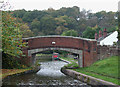
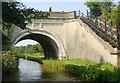
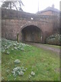
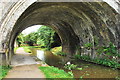
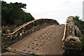
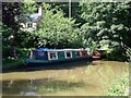
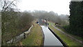
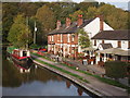
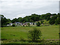
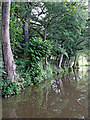
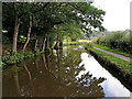
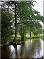
100 photos from this area
Area Information
Key information about the ST9 9QG including its size, population, and administrative classification.
- Area Type
- Postcode
- Area Size
- 22.6 hectares
- Population
- 1845
- Population Density
- 43 people/km²
House Prices in ST9 9QG
26
Properties
£373,770
Average Sold Price
£90,000
Lowest Price
£725,000
Highest Price
Showing 26 properties
| Address | Type | Beds | Baths | Last Sale Price | Last Sale Date | |
|---|---|---|---|---|---|---|
| Denby, Denford Road, Longsdon, ST9 9QG | Detached | 4 | 3 | £650,005 | Jan 2024 | |
| Kincraig, Denford Road, Longsdon, ST9 9QG | house | - | - | £725,000 | Apr 2023 | |
| Meadow Gates, Denford Road, Longsdon, ST9 9QG | Semi-detached | 5 | 2 | £555,000 | Nov 2022 | |
| Eversley, Denford Road, Longsdon, ST9 9QG | Retail | 6 | 2 | £628,000 | Oct 2022 | |
| Waterside, Denford Road, Longsdon, ST9 9QG | Detached | 4 | 3 | £490,000 | May 2021 | |
| Dunelm, Denford Road, Longsdon, ST9 9QG | Bungalow | 3 | 1 | £278,000 | Jul 2019 | |
| Netherlands, Denford Road, Longsdon, ST9 9QG | house | - | - | £250,000 | Mar 2018 | |
| Denmead, Denford Road, Longsdon, ST9 9QG | Bungalow | - | - | £230,000 | Jul 2013 | |
| Netherfields, Denford Road, Longsdon, ST9 9QG | house | 3 | - | £303,000 | Dec 2010 | |
| Byways, Denford Road, Longsdon, ST9 9QG | Semi-detached | 3 | 1 | £385,000 | Jun 2010 |
Page 1 of 3
Energy Efficiency in ST9 9QG
Amenities
Schools
| Rank | School | Type | Entry gender | Ages |
|---|
Explore more schools in this area
Go to Schools tabDemographics
Household Size
Two person
most common
Accommodation Type
Houses
most common
Tenure
88
majority
Ethnic Group
White
most common
Religion
N/A
most common
Household Composition
N/A
most common
Age
47
median
Adults (30-64 years)
most common
Household Deprivation
N/A
with no deprivation
NS-SEC
39
in Lower managerial occupations
Explore more demographic insights in this area
Go to Demographics tabPlanning
Planning Constraints
- Flood RiskPremium
- Ramsar Wetland SitesPremium
- Area of Outstanding Natural BeautyPremium
- Protected Nature ReservePremium
- Protected WoodlandPremium