Area Overview for ST9 9ED
Photos of ST9 9ED
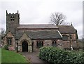
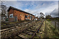
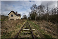
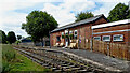
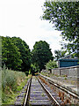
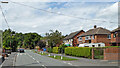
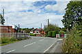
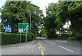
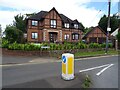
45 photos from this area
Area Information
Key information about the ST9 9ED including its size, population, and administrative classification.
- Area Type
- Postcode
- Area Size
- 1.4 hectares
- Population
- 1753
- Population Density
- 343 people/km²
House Prices in ST9 9ED
25
Properties
£248,359
Average Sold Price
£79,500
Lowest Price
£380,000
Highest Price
Showing 25 properties
| Address | Type | Beds | Baths | Last Sale Price | Last Sale Date | |
|---|---|---|---|---|---|---|
| 23 Brookfield Avenue, Endon, ST9 9ED | Semi-detached | 3 | 1 | £302,000 | Jun 2025 | |
| 7 Brookfield Avenue, Endon, ST9 9ED | Semi-detached | 3 | 1 | £265,000 | Jan 2025 | |
| Brookbank, 24 Brookfield Avenue, Endon, ST9 9ED | Semi-detached | 3 | 1 | £325,000 | Jul 2024 | |
| 19 Brookfield Avenue, Endon, ST9 9ED | house | - | - | £380,000 | Jan 2021 | |
| 18 Brookfield Avenue, Endon, ST9 9ED | Semi-detached | 3 | - | £280,000 | Aug 2020 | |
| 4 Brookfield Avenue, Endon, ST9 9ED | Semi-detached | 5 | 2 | £297,500 | Nov 2019 | |
| Birch Gate, 13 Brookfield Avenue, Endon, ST9 9ED | house | 3 | - | £185,000 | Jul 2013 | |
| 9 Brookfield Avenue, Endon, ST9 9ED | Detached | - | - | £230,000 | Jul 2013 | |
| 2 Brookfield Avenue, Endon, ST9 9ED | house | - | - | £228,000 | Oct 2012 | |
| 14 Brookfield Avenue, Endon, ST9 9ED | house | - | - | £159,950 | Dec 2011 |
Page 1 of 3
Energy Efficiency in ST9 9ED
Amenities
Schools
| Rank | School | Type | Entry gender | Ages |
|---|
Explore more schools in this area
Go to Schools tabDemographics
Household Size
Two person
most common
Accommodation Type
Houses
most common
Tenure
93
majority
Ethnic Group
White
most common
Religion
N/A
most common
Household Composition
N/A
most common
Age
47
median
Adults (30-64 years)
most common
Household Deprivation
N/A
with no deprivation
NS-SEC
40
in Lower managerial occupations
Explore more demographic insights in this area
Go to Demographics tabPlanning
Planning Constraints
- Flood RiskPremium
- Ramsar Wetland SitesPremium
- Area of Outstanding Natural BeautyPremium
- Protected Nature ReservePremium
- Protected WoodlandPremium