Area Overview for ST9 0DW
Photos of ST9 0DW
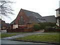
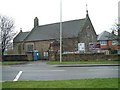
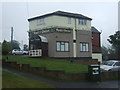
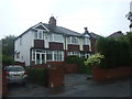
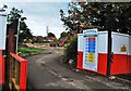
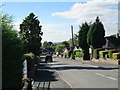
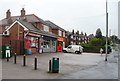
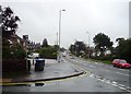
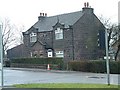
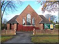
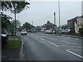
17 photos from this area
Area Information
Key information about the ST9 0DW including its size, population, and administrative classification.
- Area Type
- Postcode
- Area Size
- 6046 m²
- Population
- 1607
- Population Density
- 3194 people/km²
House Prices in ST9 0DW
18
Properties
£178,313
Average Sold Price
£110,000
Lowest Price
£295,000
Highest Price
Showing 18 properties
| Address | Type | Beds | Baths | Last Sale Price | Last Sale Date | |
|---|---|---|---|---|---|---|
| 32 Brentwood Drive, Werrington, ST9 0DW | house | 4 | 2 | £268,000 | Jun 2025 | |
| 26 Brentwood Drive, Werrington, ST9 0DW | house | 4 | 1 | £260,000 | Dec 2024 | |
| 22 Brentwood Drive, Werrington, ST9 0DW | Detached | 3 | 1 | £197,500 | Jun 2023 | |
| 12 Brentwood Drive, Werrington, ST9 0DW | house | - | - | £200,000 | Dec 2022 | |
| 2 Brentwood Drive, Werrington, ST9 0DW | Bungalow | 4 | 1 | £295,000 | Sep 2021 | |
| 4 Brentwood Drive, Werrington, ST9 0DW | Semi-detached | 2 | 1 | £125,000 | Dec 2019 | |
| 10 Brentwood Drive, Werrington, ST9 0DW | house | - | - | £129,000 | Mar 2019 | |
| 28 Brentwood Drive, Werrington, ST9 0DW | house | - | - | £190,000 | Apr 2017 | |
| 36 Brentwood Drive, Werrington, ST9 0DW | Detached | 4 | 2 | £212,500 | Sep 2015 | |
| 18 Brentwood Drive, Werrington, ST9 0DW | Detached | 3 | 1 | £145,000 | Mar 2015 |
Page 1 of 2
Energy Efficiency in ST9 0DW
Amenities
Schools
| Rank | School | Type | Entry gender | Ages |
|---|
Explore more schools in this area
Go to Schools tabDemographics
Household Size
Two person
most common
Accommodation Type
Houses
most common
Tenure
84
majority
Ethnic Group
White
most common
Religion
N/A
most common
Household Composition
N/A
most common
Age
47
median
Adults (30-64 years)
most common
Household Deprivation
N/A
with no deprivation
NS-SEC
30
in Lower managerial occupations
Explore more demographic insights in this area
Go to Demographics tabPlanning
Planning Constraints
- Flood RiskPremium
- Ramsar Wetland SitesPremium
- Area of Outstanding Natural BeautyPremium
- Protected Nature ReservePremium
- Protected WoodlandPremium