Area Overview for ST7 8LA
Photos of ST7 8LA
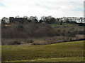
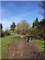
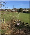
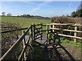
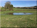
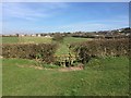
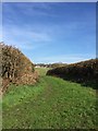
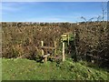
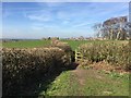
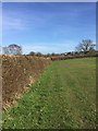
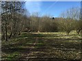
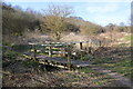
92 photos from this area
Area Information
Key information about the ST7 8LA including its size, population, and administrative classification.
- Area Type
- Postcode
- Area Size
- 7.4 hectares
- Population
- 1469
- Population Density
- 759 people/km²
House Prices in ST7 8LA
33
Properties
£162,403
Average Sold Price
£25,000
Lowest Price
£399,950
Highest Price
Showing 33 properties
| Address | Type | Beds | Baths | Last Sale Price | Last Sale Date | |
|---|---|---|---|---|---|---|
| 45 Boon Hill Road, Bignall End, Newcastle Under Lyme, ST7 8LA | Cottage | 2 | 1 | £241,000 | Apr 2024 | |
| 14 Boon Hill Road, Bignall End, Newcastle Under Lyme, ST7 8LA | Detached | 3 | 1 | £320,000 | Dec 2023 | |
| 7 Boon Hill Road, Bignall End, Newcastle Under Lyme, ST7 8LA | Semi-detached | 2 | 1 | £201,000 | Sep 2022 | |
| 22 Boon Hill Road, Bignall End, Newcastle Under Lyme, ST7 8LA | house | - | - | £399,950 | Nov 2021 | |
| 11 Boon Hill Road, Bignall End, Newcastle Under Lyme, ST7 8LA | house | 4 | - | £210,000 | Jul 2021 | |
| 43 Boon Hill Road, Bignall End, Newcastle Under Lyme, ST7 8LA | house | - | - | £150,000 | Mar 2020 | |
| 26 Boon Hill Road, Bignall End, Newcastle Under Lyme, ST7 8LA | Detached | 4 | 2 | £160,000 | Jul 2019 | |
| 17 Boon Hill Road, Bignall End, Newcastle Under Lyme, ST7 8LA | Semi-detached | 3 | 2 | £220,000 | Apr 2017 | |
| 10 Boon Hill Road, Bignall End, Newcastle Under Lyme, ST7 8LA | house | 3 | - | £185,000 | Jan 2017 | |
| 5 Boon Hill Road, Bignall End, Newcastle Under Lyme, ST7 8LA | Detached | 3 | 2 | £96,000 | Apr 2012 |
Page 1 of 4
Energy Efficiency in ST7 8LA
Amenities
Schools
| Rank | School | Type | Entry gender | Ages |
|---|
Explore more schools in this area
Go to Schools tabDemographics
Household Size
Two person
most common
Accommodation Type
Houses
most common
Tenure
79
majority
Ethnic Group
White
most common
Religion
N/A
most common
Household Composition
N/A
most common
Age
47
median
Adults (30-64 years)
most common
Household Deprivation
N/A
with no deprivation
NS-SEC
31
in Lower managerial occupations
Explore more demographic insights in this area
Go to Demographics tabPlanning
Planning Constraints
- Flood RiskPremium
- Ramsar Wetland SitesPremium
- Area of Outstanding Natural BeautyPremium
- Protected Nature ReservePremium
- Protected WoodlandPremium