Area Overview for ST6 6JL
Photos of ST6 6JL
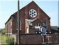
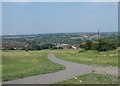
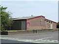
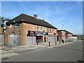
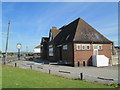
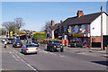
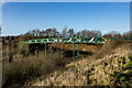
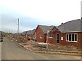
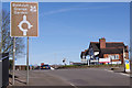
9 photos from this area
Area Information
Key information about the ST6 6JL including its size, population, and administrative classification.
- Area Type
- Postcode
- Area Size
- 2.0 hectares
- Population
- 1567
- Population Density
- 4680 people/km²
House Prices in ST6 6JL
39
Properties
£98,380
Average Sold Price
£18,000
Lowest Price
£220,000
Highest Price
Showing 39 properties
| Address | Type | Beds | Baths | Last Sale Price | Last Sale Date | |
|---|---|---|---|---|---|---|
| 80 Barber Road, Chell, Stoke On Trent, ST6 6JL | house | 2 | 1 | £148,000 | Mar 2025 | |
| 68 Barber Road, Chell, Stoke On Trent, ST6 6JL | Semi-detached | 2 | 1 | £145,500 | Nov 2023 | |
| 59 Barber Road, Chell, Stoke On Trent, ST6 6JL | Semi-detached | 4 | 2 | £220,000 | Jul 2023 | |
| 78 Barber Road, Chell, Stoke On Trent, ST6 6JL | Detached | 3 | 1 | £167,000 | Jan 2023 | |
| 94 Barber Road, Chell, Stoke On Trent, ST6 6JL | Terraced | 3 | 1 | £146,000 | Aug 2022 | |
| 86 Barber Road, Chell, Stoke On Trent, ST6 6JL | Detached | 2 | 1 | £112,500 | Feb 2021 | |
| 43 Barber Road, Chell, Stoke On Trent, ST6 6JL | house | - | - | £83,000 | Sep 2020 | |
| 82 Barber Road, Chell, Stoke On Trent, ST6 6JL | Semi-detached | 2 | 2 | £114,995 | Jul 2019 | |
| 56 Barber Road, Chell, Stoke On Trent, ST6 6JL | Semi-detached | 3 | 1 | £98,000 | Feb 2019 | |
| 66 Barber Road, Chell, Stoke On Trent, ST6 6JL | Semi-detached | 3 | 1 | £84,000 | Oct 2018 |
Page 1 of 4
Energy Efficiency in ST6 6JL
Amenities
Schools
| Rank | School | Type | Entry gender | Ages |
|---|
Explore more schools in this area
Go to Schools tabDemographics
Household Size
Two person
most common
Accommodation Type
Houses
most common
Tenure
62
majority
Ethnic Group
White
most common
Religion
N/A
most common
Household Composition
N/A
most common
Age
47
median
Adults (30-64 years)
most common
Household Deprivation
N/A
with no deprivation
NS-SEC
17
in Lower managerial occupations
Explore more demographic insights in this area
Go to Demographics tabPlanning
Planning Constraints
- Flood RiskPremium
- Ramsar Wetland SitesPremium
- Area of Outstanding Natural BeautyPremium
- Protected Nature ReservePremium
- Protected WoodlandPremium