Area Overview for ST6 5QS
Photos of ST6 5QS

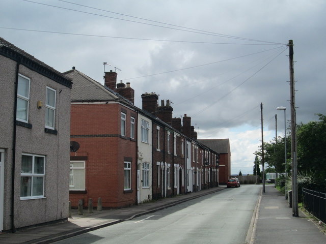


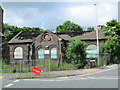


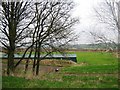
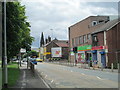
16 photos from this area
Area Information
Key information about the ST6 5QS including its size, population, and administrative classification.
- Area Type
- Postcode
- Area Size
- 2.3 hectares
- Population
- 1548
- Population Density
- 1417 people/km²
House Prices in ST6 5QS
27
Properties
£99,325
Average Sold Price
£39,250
Lowest Price
£225,000
Highest Price
Showing 27 properties
| Address | Type | Beds | Baths | Last Sale Price | Last Sale Date | |
|---|---|---|---|---|---|---|
| 41 Heathside Lane, Goldenhill, Stoke On Trent, ST6 5QS | Flat | 1 | 1 | £52,000 | May 2025 | |
| 50 Heathside Lane, Goldenhill, Stoke On Trent, ST6 5QS | Bungalow | 3 | 1 | £210,000 | Nov 2024 | |
| 42 Heathside Lane, Goldenhill, Stoke On Trent, ST6 5QS | Semi-detached | 3 | 1 | £168,000 | Dec 2023 | |
| 38 Heathside Lane, Goldenhill, Stoke On Trent, ST6 5QS | Bungalow | - | - | £69,000 | Mar 2023 | |
| Goldenhill Nursing Home, Heathside Lane, Goldenhill, Stoke On Trent, ST6 5QS | Retirement | - | - | £225,000 | Feb 2022 | |
| 36 Heathside Lane, Goldenhill, Stoke On Trent, ST6 5QS | Bungalow | 2 | 1 | £160,000 | Jul 2020 | |
| 37 Heathside Lane, Goldenhill, Stoke On Trent, ST6 5QS | house | 2 | 1 | £64,500 | Feb 2019 | |
| 49 Heathside Lane, Goldenhill, Stoke On Trent, ST6 5QS | Flat | 1 | 1 | £44,000 | Jul 2017 | |
| 48 Heathside Lane, Goldenhill, Stoke On Trent, ST6 5QS | Semi-detached | 2 | 1 | £139,950 | May 2017 | |
| 47 Heathside Lane, Goldenhill, Stoke On Trent, ST6 5QS | Flat | - | - | £52,000 | Aug 2014 |
Page 1 of 3
Energy Efficiency in ST6 5QS
Amenities
Schools
| Rank | School | Type | Entry gender | Ages |
|---|
Explore more schools in this area
Go to Schools tabDemographics
Household Size
One person
most common
Accommodation Type
Houses
most common
Tenure
52
majority
Ethnic Group
White
most common
Religion
N/A
most common
Household Composition
N/A
most common
Age
47
median
Adults (30-64 years)
most common
Household Deprivation
N/A
with no deprivation
NS-SEC
15
in Lower managerial occupations
Explore more demographic insights in this area
Go to Demographics tabPlanning
Planning Constraints
- Flood RiskPremium
- Ramsar Wetland SitesPremium
- Area of Outstanding Natural BeautyPremium
- Protected Nature ReservePremium
- Protected WoodlandPremium