Area Overview for ST6 3HY
Photos of ST6 3HY
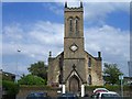
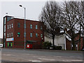
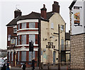
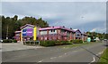
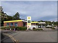
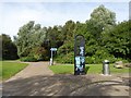
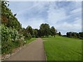
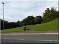
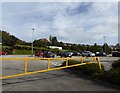
72 photos from this area
Area Information
Key information about the ST6 3HY including its size, population, and administrative classification.
- Area Type
- Postcode
- Area Size
- 4.7 hectares
- Population
- 1952
- Population Density
- 2794 people/km²
House Prices in ST6 3HY
45
Properties
£49,616
Average Sold Price
£20,000
Lowest Price
£110,000
Highest Price
Showing 45 properties
| Address | Type | Beds | Baths | Last Sale Price | Last Sale Date | |
|---|---|---|---|---|---|---|
| 15 Barrett Drive, Cobridge, Stoke On Trent, ST6 3HY | house | - | - | £78,050 | May 2023 | |
| 27 Barrett Drive, Cobridge, Stoke On Trent, ST6 3HY | house | - | - | £110,000 | Feb 2023 | |
| 59 Barrett Drive, Cobridge, Stoke On Trent, ST6 3HY | Semi-detached | 3 | 1 | £88,000 | Feb 2016 | |
| 35 Barrett Drive, Cobridge, Stoke On Trent, ST6 3HY | house | - | - | £40,000 | Aug 2012 | |
| 75 Barrett Drive, Cobridge, Stoke On Trent, ST6 3HY | house | - | - | £62,000 | Feb 2012 | |
| 65 Barrett Drive, Cobridge, Stoke On Trent, ST6 3HY | house | 3 | 2 | £37,000 | Sep 2009 | |
| 77 Barrett Drive, Cobridge, Stoke On Trent, ST6 3HY | house | - | - | £34,220 | Oct 2007 | |
| 69 Barrett Drive, Cobridge, Stoke On Trent, ST6 3HY | Terraced | - | - | £30,000 | Jul 2006 | |
| 41 Barrett Drive, Cobridge, Stoke On Trent, ST6 3HY | Semi-detached | - | - | £20,000 | Sep 2002 | |
| 91-93 Barrett Drive, Cobridge, Stoke On Trent, ST6 3HY | house | - | - | £25,000 | Mar 1999 |
Page 1 of 5
Energy Efficiency in ST6 3HY
Amenities
Schools
| Rank | School | Type | Entry gender | Ages |
|---|
Explore more schools in this area
Go to Schools tabDemographics
Household Size
One person
most common
Accommodation Type
Houses
most common
Tenure
39
majority
Ethnic Group
asian_total
most common
Religion
N/A
most common
Household Composition
N/A
most common
Age
47
median
Adults (30-64 years)
most common
Household Deprivation
N/A
with no deprivation
NS-SEC
14
in Lower managerial occupations
Explore more demographic insights in this area
Go to Demographics tabPlanning
Planning Constraints
- Flood RiskPremium
- Ramsar Wetland SitesPremium
- Area of Outstanding Natural BeautyPremium
- Protected Nature ReservePremium
- Protected WoodlandPremium