Area Overview for ST6 2NE
Photos of ST6 2NE

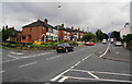

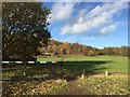
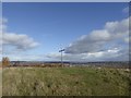
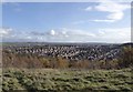
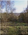
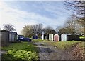
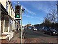
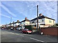
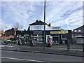

40 photos from this area
Area Information
Key information about the ST6 2NE including its size, population, and administrative classification.
- Area Type
- Postcode
- Area Size
- 9614 m²
- Population
- 1593
- Population Density
- 4435 people/km²
House Prices in ST6 2NE
32
Properties
£116,361
Average Sold Price
£43,000
Lowest Price
£188,000
Highest Price
Showing 32 properties
| Address | Type | Beds | Baths | Last Sale Price | Last Sale Date | |
|---|---|---|---|---|---|---|
| 20 Crossway Road, Sneyd Green, Stoke On Trent, ST6 2NE | Semi-detached | 2 | 1 | £135,000 | Apr 2025 | |
| 48 Crossway Road, Sneyd Green, Stoke On Trent, ST6 2NE | Semi-detached | 2 | 1 | £160,000 | Jun 2024 | |
| 24 Crossway Road, Sneyd Green, Stoke On Trent, ST6 2NE | Semi-detached | 2 | 1 | £144,000 | Jun 2024 | |
| 58 Crossway Road, Sneyd Green, Stoke On Trent, ST6 2NE | Semi-detached | 2 | 1 | £140,000 | May 2024 | |
| 4 Crossway Road, Sneyd Green, Stoke On Trent, ST6 2NE | Semi-detached | 4 | 1 | £126,500 | Nov 2023 | |
| 46 Crossway Road, Sneyd Green, Stoke On Trent, ST6 2NE | Retail | 2 | 1 | £140,000 | May 2022 | |
| 36 Crossway Road, Sneyd Green, Stoke On Trent, ST6 2NE | Retail | 2 | 1 | £137,500 | May 2022 | |
| 10 Crossway Road, Sneyd Green, Stoke On Trent, ST6 2NE | house | - | - | £126,500 | Jan 2022 | |
| 26 Crossway Road, Sneyd Green, Stoke On Trent, ST6 2NE | house | - | - | £188,000 | Jan 2021 | |
| 6 Crossway Road, Sneyd Green, Stoke On Trent, ST6 2NE | Semi-detached | 2 | 1 | £120,000 | Dec 2019 |
Page 1 of 4
Energy Efficiency in ST6 2NE
Amenities
Schools
| Rank | School | Type | Entry gender | Ages |
|---|
Explore more schools in this area
Go to Schools tabDemographics
Household Size
Family (3-5 people)
most common
Accommodation Type
Houses
most common
Tenure
73
majority
Ethnic Group
White
most common
Religion
N/A
most common
Household Composition
N/A
most common
Age
47
median
Adults (30-64 years)
most common
Household Deprivation
N/A
with no deprivation
NS-SEC
22
in Lower managerial occupations
Explore more demographic insights in this area
Go to Demographics tabPlanning
Planning Constraints
- Flood RiskPremium
- Ramsar Wetland SitesPremium
- Area of Outstanding Natural BeautyPremium
- Protected Nature ReservePremium
- Protected WoodlandPremium