Area Overview for ST5 8AU
Photos of ST5 8AU
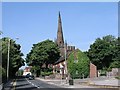

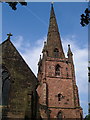
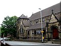
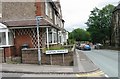

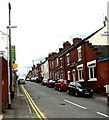
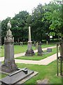
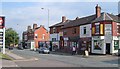
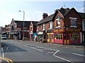

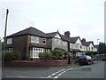
41 photos from this area
Area Information
Key information about the ST5 8AU including its size, population, and administrative classification.
- Area Type
- Postcode
- Area Size
- 1.4 hectares
- Population
- 1336
- Population Density
- 5878 people/km²
House Prices in ST5 8AU
25
Properties
£252,438
Average Sold Price
£120,000
Lowest Price
£460,000
Highest Price
Showing 25 properties
| Address | Type | Beds | Baths | Last Sale Price | Last Sale Date | |
|---|---|---|---|---|---|---|
| 14E Park Avenue, Wolstanton, Newcastle Under Lyme, ST5 8AU | Detached | 4 | 1 | £337,000 | Sep 2023 | |
| 2 Park Avenue, Wolstanton, Newcastle Under Lyme, ST5 8AU | Detached | 4 | 2 | £287,500 | Nov 2021 | |
| 14D Park Avenue, Wolstanton, Newcastle Under Lyme, ST5 8AU | house | - | - | £335,000 | Sep 2021 | |
| 14B Park Avenue, Wolstanton, Newcastle Under Lyme, ST5 8AU | house | - | - | £293,000 | Mar 2021 | |
| 14C Park Avenue, Wolstanton, Newcastle Under Lyme, ST5 8AU | house | - | - | £325,000 | Dec 2020 | |
| 20 Park Avenue, Wolstanton, Newcastle Under Lyme, ST5 8AU | Detached | 4 | 1 | £330,000 | Nov 2020 | |
| 8 Park Avenue, Wolstanton, Newcastle Under Lyme, ST5 8AU | Detached | 4 | 1 | £400,000 | Dec 2019 | |
| 16 Park Avenue, Wolstanton, Newcastle Under Lyme, ST5 8AU | Detached | 4 | - | £260,000 | Sep 2019 | |
| 32 Park Avenue, Wolstanton, Newcastle Under Lyme, ST5 8AU | Semi-detached | 3 | 1 | £165,000 | May 2018 | |
| 24 Park Avenue, Wolstanton, Newcastle Under Lyme, ST5 8AU | Semi-detached | 3 | - | £125,000 | Mar 2013 |
Page 1 of 3
Energy Efficiency in ST5 8AU
Amenities
Schools
| Rank | School | Type | Entry gender | Ages |
|---|
Explore more schools in this area
Go to Schools tabDemographics
Household Size
Two person
most common
Accommodation Type
Houses
most common
Tenure
79
majority
Ethnic Group
White
most common
Religion
N/A
most common
Household Composition
N/A
most common
Age
47
median
Adults (30-64 years)
most common
Household Deprivation
N/A
with no deprivation
NS-SEC
35
in Lower managerial occupations
Explore more demographic insights in this area
Go to Demographics tabPlanning
Planning Constraints
- Flood RiskPremium
- Ramsar Wetland SitesPremium
- Area of Outstanding Natural BeautyPremium
- Protected Nature ReservePremium
- Protected WoodlandPremium