Area Overview for ST5 6DR
Photos of ST5 6DR
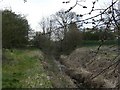
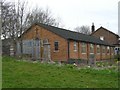
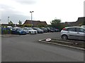
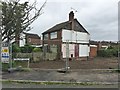
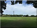
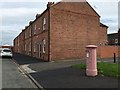
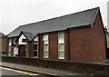
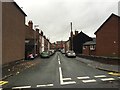
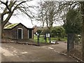
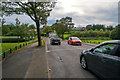

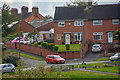
17 photos from this area
Area Information
Key information about the ST5 6DR including its size, population, and administrative classification.
- Area Type
- Postcode
- Area Size
- 4378 m²
- Population
- 1381
- Population Density
- 2574 people/km²
House Prices in ST5 6DR
18
Properties
£76,604
Average Sold Price
£11,250
Lowest Price
£120,000
Highest Price
Showing 18 properties
| Address | Type | Beds | Baths | Last Sale Price | Last Sale Date | |
|---|---|---|---|---|---|---|
| 9 Nash Street, Newcastle Under Lyme, ST5 6DR | Terraced | 3 | 2 | £112,000 | Apr 2023 | |
| 22 Nash Street, Newcastle Under Lyme, ST5 6DR | Bungalow | - | - | £120,000 | Apr 2023 | |
| 5 Nash Street, Newcastle Under Lyme, ST5 6DR | Terraced | 2 | 1 | £97,500 | May 2022 | |
| 15 Nash Street, Newcastle Under Lyme, ST5 6DR | house | - | - | £90,000 | Jun 2021 | |
| 18 Nash Street, Newcastle Under Lyme, ST5 6DR | house | - | - | £80,000 | Oct 2019 | |
| 3 Nash Street, Newcastle Under Lyme, ST5 6DR | Terraced | 2 | 1 | £110,000 | Nov 2018 | |
| 19 Nash Street, Newcastle Under Lyme, ST5 6DR | Terraced | 3 | 2 | £86,000 | Oct 2017 | |
| 16 Nash Street, Newcastle Under Lyme, ST5 6DR | Land | - | - | £49,000 | Mar 2017 | |
| 7 Nash Street, Newcastle Under Lyme, ST5 6DR | Terraced | 2 | 1 | £62,000 | Jul 2014 | |
| 11 Nash Street, Newcastle Under Lyme, ST5 6DR | Terraced | - | - | £75,500 | Apr 2005 |
Page 1 of 2
Energy Efficiency in ST5 6DR
Amenities
Schools
| Rank | School | Type | Entry gender | Ages |
|---|
Explore more schools in this area
Go to Schools tabDemographics
Household Size
One person
most common
Accommodation Type
Houses
most common
Tenure
55
majority
Ethnic Group
White
most common
Religion
N/A
most common
Household Composition
N/A
most common
Age
47
median
Adults (30-64 years)
most common
Household Deprivation
N/A
with no deprivation
NS-SEC
18
in Lower managerial occupations
Explore more demographic insights in this area
Go to Demographics tabPlanning
Planning Constraints
- Flood RiskPremium
- Ramsar Wetland SitesPremium
- Area of Outstanding Natural BeautyPremium
- Protected Nature ReservePremium
- Protected WoodlandPremium