Area Overview for ST5 6BH
Photos of ST5 6BH
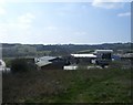
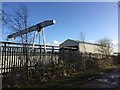
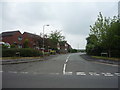
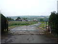
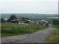
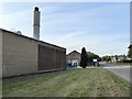
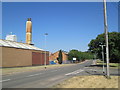
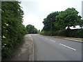

12 photos from this area
Area Information
Key information about the ST5 6BH including its size, population, and administrative classification.
- Area Type
- Postcode
- Area Size
- 19.1 hectares
- Population
- 1304
- Population Density
- 1274 people/km²
House Prices in ST5 6BH
33
Properties
£108,971
Average Sold Price
£19,750
Lowest Price
£250,000
Highest Price
Showing 33 properties
| Address | Type | Beds | Baths | Last Sale Price | Last Sale Date | |
|---|---|---|---|---|---|---|
| 19 Apedale Road, Chesterton, Newcastle Under Lyme, ST5 6BH | Flat | 3 | 1 | £102,000 | Jun 2025 | |
| 5 Apedale Road, Chesterton, Newcastle Under Lyme, ST5 6BH | Retail | 3 | 2 | £97,500 | Mar 2023 | |
| 27 Apedale Road, Chesterton, Newcastle Under Lyme, ST5 6BH | Terraced | 3 | 1 | £122,500 | Jun 2022 | |
| 33 Apedale Road, Chesterton, Newcastle Under Lyme, ST5 6BH | Terraced | 2 | 1 | £117,500 | Jan 2022 | |
| 35 Apedale Road, Chesterton, Newcastle Under Lyme, ST5 6BH | Terraced | 3 | 1 | £125,000 | Aug 2020 | |
| 70 Apedale Road, Chesterton, Newcastle Under Lyme, ST5 6BH | Semi-detached | 3 | 1 | £135,000 | Mar 2020 | |
| 78 Apedale Road, Chesterton, Newcastle Under Lyme, ST5 6BH | Terraced | 2 | - | £110,000 | Dec 2019 | |
| 23 Apedale Road, Chesterton, Newcastle Under Lyme, ST5 6BH | Terraced | 1 | 1 | £115,500 | Jun 2018 | |
| 7 Apedale Road, Chesterton, Newcastle Under Lyme, ST5 6BH | Semi-detached | 3 | 1 | £103,000 | Nov 2017 | |
| 31 Apedale Road, Chesterton, Newcastle Under Lyme, ST5 6BH | Terraced | 3 | 1 | £95,000 | Oct 2017 |
Page 1 of 4
Energy Efficiency in ST5 6BH
Amenities
Schools
| Rank | School | Type | Entry gender | Ages |
|---|
Explore more schools in this area
Go to Schools tabDemographics
Household Size
Two person
most common
Accommodation Type
Houses
most common
Tenure
39
majority
Ethnic Group
White
most common
Religion
N/A
most common
Household Composition
N/A
most common
Age
47
median
Adults (30-64 years)
most common
Household Deprivation
N/A
with no deprivation
NS-SEC
14
in Lower managerial occupations
Explore more demographic insights in this area
Go to Demographics tabPlanning
Planning Constraints
- Flood RiskPremium
- Ramsar Wetland SitesPremium
- Area of Outstanding Natural BeautyPremium
- Protected Nature ReservePremium
- Protected WoodlandPremium