Area Overview for ST5 5FE
Photos of ST5 5FE
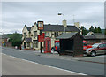
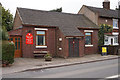
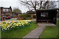
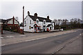
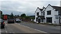
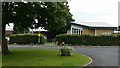
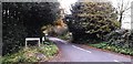
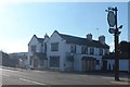
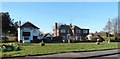
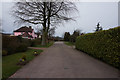
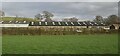
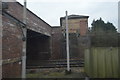
12 photos from this area
Area Information
Key information about the ST5 5FE including its size, population, and administrative classification.
- Area Type
- Postcode
- Area Size
- 7.5 hectares
- Population
- 2675
- Population Density
- 62 people/km²
House Prices in ST5 5FE
43
Properties
£336,746
Average Sold Price
£215,000
Lowest Price
£475,000
Highest Price
Showing 43 properties
| Address | Type | Beds | Baths | Last Sale Price | Last Sale Date | |
|---|---|---|---|---|---|---|
| 8 Roebuck Drive, Baldwins Gate, Newcastle Under Lyme, ST5 5FE | Detached | 4 | 2 | £345,000 | Jan 2025 | |
| 35 Roebuck Drive, Baldwins Gate, Newcastle Under Lyme, ST5 5FE | Bungalow | 3 | 2 | £370,000 | Aug 2024 | |
| 43 Roebuck Drive, Baldwins Gate, Newcastle Under Lyme, ST5 5FE | Detached | 4 | 2 | £425,000 | Jul 2024 | |
| 33 Roebuck Drive, Baldwins Gate, Newcastle Under Lyme, ST5 5FE | Bungalow | 3 | 2 | £415,000 | Apr 2024 | |
| 6 Roebuck Drive, Baldwins Gate, Newcastle Under Lyme, ST5 5FE | Detached | 4 | 2 | £401,000 | Apr 2023 | |
| 39 Roebuck Drive, Baldwins Gate, Newcastle Under Lyme, ST5 5FE | Detached | 4 | 3 | £475,000 | Feb 2023 | |
| 29 Roebuck Drive, Baldwins Gate, Newcastle Under Lyme, ST5 5FE | Bungalow | - | - | £312,000 | Oct 2021 | |
| 45 Roebuck Drive, Baldwins Gate, Newcastle Under Lyme, ST5 5FE | house | - | - | £385,000 | Sep 2021 | |
| 49 Roebuck Drive, Baldwins Gate, Newcastle Under Lyme, ST5 5FE | house | - | - | £390,000 | Aug 2021 | |
| 47 Roebuck Drive, Baldwins Gate, Newcastle Under Lyme, ST5 5FE | house | - | - | £425,000 | Aug 2021 |
Page 1 of 5
Energy Efficiency in ST5 5FE
Amenities
Schools
| Rank | School | Type | Entry gender | Ages |
|---|
Explore more schools in this area
Go to Schools tabDemographics
Household Size
Two person
most common
Accommodation Type
Houses
most common
Tenure
86
majority
Ethnic Group
White
most common
Religion
N/A
most common
Household Composition
N/A
most common
Age
47
median
Adults (30-64 years)
most common
Household Deprivation
N/A
with no deprivation
NS-SEC
45
in Lower managerial occupations
Explore more demographic insights in this area
Go to Demographics tabPlanning
Planning Constraints
- Flood RiskPremium
- Ramsar Wetland SitesPremium
- Area of Outstanding Natural BeautyPremium
- Protected Nature ReservePremium
- Protected WoodlandPremium