Area Overview for ST5 3QL
Photos of ST5 3QL
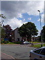
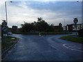
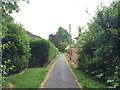
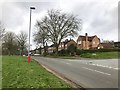
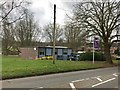
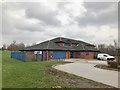
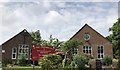
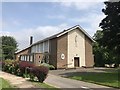
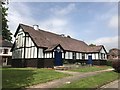
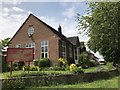
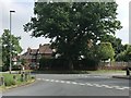
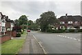
25 photos from this area
Area Information
Key information about the ST5 3QL including its size, population, and administrative classification.
- Area Type
- Postcode
- Area Size
- 3.4 hectares
- Population
- 1436
- Population Density
- 3687 people/km²
House Prices in ST5 3QL
45
Properties
£116,197
Average Sold Price
£35,000
Lowest Price
£177,000
Highest Price
Showing 45 properties
| Address | Type | Beds | Baths | Last Sale Price | Last Sale Date | |
|---|---|---|---|---|---|---|
| 4 Kentmere Place, Newcastle Under Lyme, ST5 3QL | Terraced | 3 | 2 | £177,000 | Sep 2023 | |
| 35 Kentmere Place, Newcastle Under Lyme, ST5 3QL | Retail | 4 | 1 | £172,000 | Aug 2022 | |
| 22 Kentmere Place, Newcastle Under Lyme, ST5 3QL | Semi-detached | 3 | 1 | £155,000 | Nov 2021 | |
| 17 Kentmere Place, Newcastle Under Lyme, ST5 3QL | house | - | - | £140,000 | Oct 2021 | |
| 28 Kentmere Place, Newcastle Under Lyme, ST5 3QL | house | - | - | £145,000 | Aug 2021 | |
| 40 Kentmere Place, Newcastle Under Lyme, ST5 3QL | Semi-detached | 4 | 1 | £165,000 | Feb 2021 | |
| 21 Kentmere Place, Newcastle Under Lyme, ST5 3QL | Semi-detached | 2 | 1 | £156,750 | Sep 2020 | |
| 27 Kentmere Place, Newcastle Under Lyme, ST5 3QL | Semi-detached | 2 | 1 | £88,000 | Feb 2016 | |
| 11 Kentmere Place, Newcastle Under Lyme, ST5 3QL | Semi-detached | 3 | 1 | £114,400 | Nov 2013 | |
| 20 Kentmere Place, Newcastle Under Lyme, ST5 3QL | house | 2 | - | £102,000 | May 2013 |
Page 1 of 5
Energy Efficiency in ST5 3QL
Amenities
Schools
| Rank | School | Type | Entry gender | Ages |
|---|
Explore more schools in this area
Go to Schools tabDemographics
Household Size
One person
most common
Accommodation Type
Houses
most common
Tenure
68
majority
Ethnic Group
White
most common
Religion
N/A
most common
Household Composition
N/A
most common
Age
47
median
Adults (30-64 years)
most common
Household Deprivation
N/A
with no deprivation
NS-SEC
32
in Lower managerial occupations
Explore more demographic insights in this area
Go to Demographics tabPlanning
Planning Constraints
- Flood RiskPremium
- Ramsar Wetland SitesPremium
- Area of Outstanding Natural BeautyPremium
- Protected Nature ReservePremium
- Protected WoodlandPremium