Area Overview for ST5 0SX
Photos of ST5 0SX
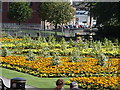
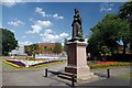
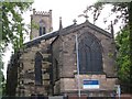
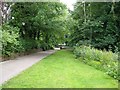
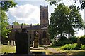
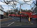
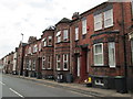
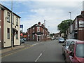
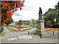

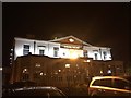
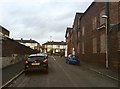
100 photos from this area
Area Information
Key information about the ST5 0SX including its size, population, and administrative classification.
- Area Type
- Postcode
- Area Size
- 9572 m²
- Population
- 1368
- Population Density
- 3711 people/km²
House Prices in ST5 0SX
9
Properties
£162,833
Average Sold Price
£53,500
Lowest Price
£250,000
Highest Price
Showing 9 properties
| Address | Type | Beds | Baths | Last Sale Price | Last Sale Date | |
|---|---|---|---|---|---|---|
| 534 Etruria Road, Newcastle Under Lyme, ST5 0SX | Bungalow | 2 | 1 | £250,000 | Jun 2024 | |
| 532 Etruria Road, Newcastle Under Lyme, ST5 0SX | Detached | - | - | £185,000 | May 2003 | |
| 530 Etruria Road, Newcastle Under Lyme, ST5 0SX | Detached | - | - | £53,500 | Apr 2001 | |
| Charlotte House, 536 Etruria Road, Newcastle Under Lyme, ST5 0SX | office_workshop | - | - | - | - | |
| 526 Etruria Road, Newcastle Under Lyme, ST5 0SX | Semi-detached | - | - | - | - | |
| 528 Etruria Road, Newcastle Under Lyme, ST5 0SX | Semi-detached | - | - | - | - | |
| 522 Etruria Road, Newcastle Under Lyme, ST5 0SX | Semi-detached | - | - | - | - | |
| 538 Etruria Road, Newcastle Under Lyme, ST5 0SX | Bungalow | - | - | - | - | |
| 524 Etruria Road, Newcastle Under Lyme, ST5 0SX | Semi-detached | - | - | - | - |
Energy Efficiency in ST5 0SX
Amenities
Schools
| Rank | School | Type | Entry gender | Ages |
|---|
Explore more schools in this area
Go to Schools tabDemographics
Household Size
Two person
most common
Accommodation Type
Houses
most common
Tenure
82
majority
Ethnic Group
White
most common
Religion
N/A
most common
Household Composition
N/A
most common
Age
47
median
Adults (30-64 years)
most common
Household Deprivation
N/A
with no deprivation
NS-SEC
39
in Lower managerial occupations
Explore more demographic insights in this area
Go to Demographics tabPlanning
Planning Constraints
- Flood RiskPremium
- Ramsar Wetland SitesPremium
- Area of Outstanding Natural BeautyPremium
- Protected Nature ReservePremium
- Protected WoodlandPremium