Area Overview for ST5 0RU
Photos of ST5 0RU
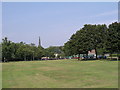
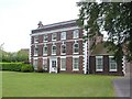
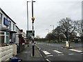
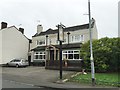
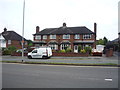
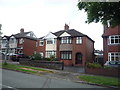
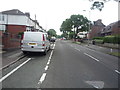
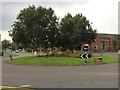
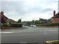
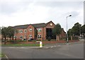
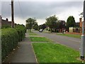
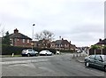
34 photos from this area
Area Information
Key information about the ST5 0RU including its size, population, and administrative classification.
- Area Type
- Postcode
- Area Size
- 9740 m²
- Population
- 1480
- Population Density
- 6382 people/km²
House Prices in ST5 0RU
24
Properties
£167,746
Average Sold Price
£69,000
Lowest Price
£250,000
Highest Price
Showing 24 properties
| Address | Type | Beds | Baths | Last Sale Price | Last Sale Date | |
|---|---|---|---|---|---|---|
| 6 Greenbank Road, Newcastle Under Lyme, ST5 0RU | Semi-detached | 3 | 2 | £250,000 | Dec 2023 | |
| 13 Greenbank Road, Newcastle Under Lyme, ST5 0RU | house | - | - | £163,500 | Feb 2021 | |
| 20 Greenbank Road, Newcastle Under Lyme, ST5 0RU | house | - | - | £220,000 | Jan 2021 | |
| 8 Greenbank Road, Newcastle Under Lyme, ST5 0RU | Semi-detached | 3 | 1 | £195,000 | Jun 2020 | |
| 10 Greenbank Road, Newcastle Under Lyme, ST5 0RU | Semi-detached | 3 | 1 | £185,000 | Jul 2018 | |
| 19 Greenbank Road, Newcastle Under Lyme, ST5 0RU | Detached | 3 | 1 | £160,000 | May 2016 | |
| 25 Greenbank Road, Newcastle Under Lyme, ST5 0RU | house | 3 | 1 | £128,500 | Jan 2015 | |
| 21 Greenbank Road, Newcastle Under Lyme, ST5 0RU | house | 4 | 2 | £182,000 | Sep 2014 | |
| 12 Greenbank Road, Newcastle Under Lyme, ST5 0RU | Semi-detached | 3 | 1 | £180,000 | Jun 2013 | |
| 31 Greenbank Road, Newcastle Under Lyme, ST5 0RU | house | - | - | £167,000 | Jul 2004 |
Page 1 of 3
Energy Efficiency in ST5 0RU
Amenities
Schools
| Rank | School | Type | Entry gender | Ages |
|---|
Explore more schools in this area
Go to Schools tabDemographics
Household Size
Two person
most common
Accommodation Type
Houses
most common
Tenure
79
majority
Ethnic Group
White
most common
Religion
N/A
most common
Household Composition
N/A
most common
Age
47
median
Adults (30-64 years)
most common
Household Deprivation
N/A
with no deprivation
NS-SEC
36
in Lower managerial occupations
Explore more demographic insights in this area
Go to Demographics tabPlanning
Planning Constraints
- Flood RiskPremium
- Ramsar Wetland SitesPremium
- Area of Outstanding Natural BeautyPremium
- Protected Nature ReservePremium
- Protected WoodlandPremium