Area Overview for ST3 7PE
Photos of ST3 7PE
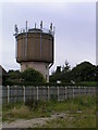
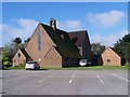
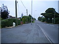
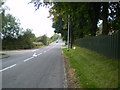
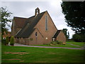
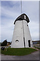

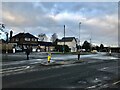
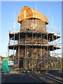

17 photos from this area
Area Information
Key information about the ST3 7PE including its size, population, and administrative classification.
- Area Type
- Postcode
- Area Size
- 1.5 hectares
- Population
- 1408
- Population Density
- 358 people/km²
House Prices in ST3 7PE
11
Properties
£240,390
Average Sold Price
£90,000
Lowest Price
£372,000
Highest Price
Showing 11 properties
| Address | Type | Beds | Baths | Last Sale Price | Last Sale Date | |
|---|---|---|---|---|---|---|
| Whinmoor, Common Lane, Meir Heath, Stoke On Trent, ST3 7PE | Detached | 4 | 3 | £372,000 | Aug 2020 | |
| Hillcrest, Common Lane, Meir Heath, Stoke On Trent, ST3 7PE | Detached | 3 | 2 | £305,000 | Mar 2020 | |
| The Kenter, Common Lane, Meir Heath, Stoke On Trent, ST3 7PE | Detached | - | - | £299,950 | Apr 2007 | |
| Wrekin View, Common Lane, Meir Heath, Stoke On Trent, ST3 7PE | Bungalow | - | - | £90,000 | Jun 1998 | |
| Saverley, Common Lane, Meir Heath, Stoke On Trent, ST3 7PE | Detached | 4 | 4 | £135,000 | May 1995 | |
| Plot 1 Saverley, Common Lane, Meir Heath, Stoke On Trent, ST3 7PE | Detached | - | - | - | - | |
| The Highfields, Bracken Close, Meir Heath, Stoke On Trent, ST3 7PE | Detached | - | - | - | - | |
| Lugano, Bracken Close, Meir Heath, Stoke On Trent, ST3 7PE | Detached | - | - | - | - | |
| The Bungalow, Bracken Close, Meir Heath, Stoke On Trent, ST3 7PE | Bungalow | - | - | - | - | |
| Westways, Bracken Close, Meir Heath, Stoke On Trent, ST3 7PE | Bungalow | - | - | - | - |
Page 1 of 2
Energy Efficiency in ST3 7PE
Amenities
Schools
| Rank | School | Type | Entry gender | Ages |
|---|
Explore more schools in this area
Go to Schools tabDemographics
Household Size
Two person
most common
Accommodation Type
Houses
most common
Tenure
93
majority
Ethnic Group
White
most common
Religion
N/A
most common
Household Composition
N/A
most common
Age
47
median
Adults (30-64 years)
most common
Household Deprivation
N/A
with no deprivation
NS-SEC
39
in Lower managerial occupations
Explore more demographic insights in this area
Go to Demographics tabPlanning
Planning Constraints
- Flood RiskPremium
- Ramsar Wetland SitesPremium
- Area of Outstanding Natural BeautyPremium
- Protected Nature ReservePremium
- Protected WoodlandPremium