Area Overview for ST2 0PA
Photos of ST2 0PA

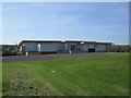
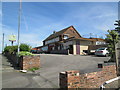
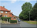
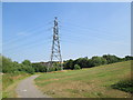
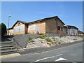

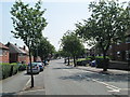
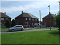
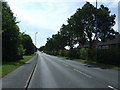

13 photos from this area
Area Information
Key information about the ST2 0PA including its size, population, and administrative classification.
- Area Type
- Postcode
- Area Size
- 7153 m²
- Population
- 1724
- Population Density
- 2911 people/km²
House Prices in ST2 0PA
28
Properties
£77,464
Average Sold Price
£42,250
Lowest Price
£110,000
Highest Price
Showing 28 properties
| Address | Type | Beds | Baths | Last Sale Price | Last Sale Date | |
|---|---|---|---|---|---|---|
| 354 Beverley Drive, Bentilee, Stoke On Trent, ST2 0PA | Semi-detached | 2 | 1 | £88,000 | Aug 2024 | |
| 312 Beverley Drive, Bentilee, Stoke On Trent, ST2 0PA | Detached | 3 | 1 | £110,000 | Oct 2021 | |
| 348 Beverley Drive, Bentilee, Stoke On Trent, ST2 0PA | house | - | - | £95,000 | Aug 2021 | |
| 314 Beverley Drive, Bentilee, Stoke On Trent, ST2 0PA | house | - | - | £80,000 | Nov 2017 | |
| 308 Beverley Drive, Bentilee, Stoke On Trent, ST2 0PA | house | - | - | £49,000 | Jun 2015 | |
| 328 Beverley Drive, Bentilee, Stoke On Trent, ST2 0PA | Semi-detached | 3 | - | £78,000 | Jun 2015 | |
| 316 Beverley Drive, Bentilee, Stoke On Trent, ST2 0PA | house | - | - | £42,250 | Nov 2008 | |
| 302 Beverley Drive, Bentilee, Stoke On Trent, ST2 0PA | house | - | - | - | - | |
| 320 Beverley Drive, Bentilee, Stoke On Trent, ST2 0PA | Flat | - | - | - | - | |
| 326 Beverley Drive, Bentilee, Stoke On Trent, ST2 0PA | Flat | - | - | - | - |
Page 1 of 3
Energy Efficiency in ST2 0PA
Amenities
Schools
| Rank | School | Type | Entry gender | Ages |
|---|
Explore more schools in this area
Go to Schools tabDemographics
Household Size
Family (3-5 people)
most common
Accommodation Type
Houses
most common
Tenure
30
majority
Ethnic Group
White
most common
Religion
N/A
most common
Household Composition
N/A
most common
Age
47
median
Adults (30-64 years)
most common
Household Deprivation
N/A
with no deprivation
NS-SEC
12
in Lower managerial occupations
Explore more demographic insights in this area
Go to Demographics tabPlanning
Planning Constraints
- Flood RiskPremium
- Ramsar Wetland SitesPremium
- Area of Outstanding Natural BeautyPremium
- Protected Nature ReservePremium
- Protected WoodlandPremium