Area Overview for ST2 0EN
Photos of ST2 0EN
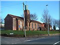
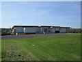
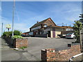
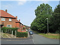
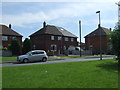
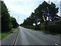
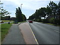

13 photos from this area
Area Information
Key information about the ST2 0EN including its size, population, and administrative classification.
- Area Type
- Postcode
- Area Size
- 3790 m²
- Population
- 1575
- Population Density
- 4922 people/km²
House Prices in ST2 0EN
11
Properties
£77,667
Average Sold Price
£39,000
Lowest Price
£144,000
Highest Price
Showing 11 properties
| Address | Type | Beds | Baths | Last Sale Price | Last Sale Date | |
|---|---|---|---|---|---|---|
| 199 Ubberley Road, Bucknall, Stoke On Trent, ST2 0EN | house | - | - | £144,000 | Oct 2021 | |
| 209 Ubberley Road, Bucknall, Stoke On Trent, ST2 0EN | Semi-detached | 3 | 1 | £39,000 | Oct 2017 | |
| 217 Ubberley Road, Bucknall, Stoke On Trent, ST2 0EN | Semi-detached | - | - | £50,000 | Jun 2007 | |
| 205 Ubberley Road, Bucknall, Stoke On Trent, ST2 0EN | Flat | - | - | - | - | |
| 213 Ubberley Road, Bucknall, Stoke On Trent, ST2 0EN | Flat | - | - | - | - | |
| 203 Ubberley Road, Bucknall, Stoke On Trent, ST2 0EN | Terraced | - | - | - | - | |
| 211 Ubberley Road, Bucknall, Stoke On Trent, ST2 0EN | Flat | - | - | - | - | |
| 215 Ubberley Road, Bucknall, Stoke On Trent, ST2 0EN | house | - | - | - | - | |
| 219 Ubberley Road, Bucknall, Stoke On Trent, ST2 0EN | Semi-detached | - | - | - | - | |
| 207 Ubberley Road, Bucknall, Stoke On Trent, ST2 0EN | house | - | - | - | - |
Page 1 of 2
Energy Efficiency in ST2 0EN
Amenities
Schools
| Rank | School | Type | Entry gender | Ages |
|---|
Explore more schools in this area
Go to Schools tabDemographics
Household Size
One person
most common
Accommodation Type
Houses
most common
Tenure
26
majority
Ethnic Group
White
most common
Religion
N/A
most common
Household Composition
N/A
most common
Age
47
median
Adults (30-64 years)
most common
Household Deprivation
N/A
with no deprivation
NS-SEC
11
in Lower managerial occupations
Explore more demographic insights in this area
Go to Demographics tabPlanning
Planning Constraints
- Flood RiskPremium
- Ramsar Wetland SitesPremium
- Area of Outstanding Natural BeautyPremium
- Protected Nature ReservePremium
- Protected WoodlandPremium