Area Overview for ST19 9PQ
Photos of ST19 9PQ
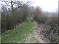
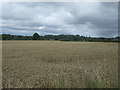
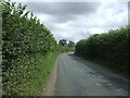
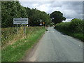
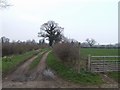
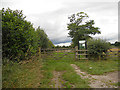
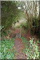
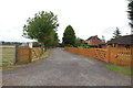
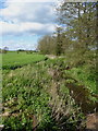
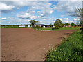
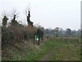
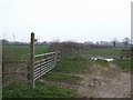
15 photos from this area
Area Information
Key information about the ST19 9PQ including its size, population, and administrative classification.
- Area Type
- Postcode
- Area Size
- 54.7 hectares
- Population
- 1336
- Population Density
- 513 people/km²
House Prices in ST19 9PQ
43
Properties
£205,675
Average Sold Price
£60,500
Lowest Price
£405,000
Highest Price
Showing 43 properties
| Address | Type | Beds | Baths | Last Sale Price | Last Sale Date | |
|---|---|---|---|---|---|---|
| 32 Marston Road, Wheaton Aston, ST19 9PQ | Bungalow | 2 | 1 | £305,000 | Sep 2024 | |
| 17 Marston Road, Wheaton Aston, ST19 9PQ | Bungalow | 2 | 1 | £245,000 | Aug 2024 | |
| 30 Marston Road, Wheaton Aston, ST19 9PQ | Bungalow | 3 | 1 | £335,000 | Dec 2023 | |
| Tavanola, 15 Marston Road, Wheaton Aston, ST19 9PQ | Semi-detached | 2 | 1 | £265,000 | Dec 2022 | |
| 11 Marston Road, Wheaton Aston, ST19 9PQ | Bungalow | - | - | £270,000 | Apr 2022 | |
| 9 Marston Road, Wheaton Aston, ST19 9PQ | Detached | 5 | 2 | £405,000 | Jan 2021 | |
| 20 Marston Road, Wheaton Aston, ST19 9PQ | Bungalow | 2 | 1 | £270,000 | Nov 2020 | |
| 19 Marston Road, Wheaton Aston, ST19 9PQ | Bungalow | - | - | £205,000 | Oct 2020 | |
| 23 Marston Road, Wheaton Aston, ST19 9PQ | Bungalow | - | - | £270,000 | Aug 2020 | |
| 24 Marston Road, Wheaton Aston, ST19 9PQ | Bungalow | - | - | £189,000 | Nov 2019 |
Page 1 of 5
Energy Efficiency in ST19 9PQ
Amenities
Schools
| Rank | School | Type | Entry gender | Ages |
|---|
Explore more schools in this area
Go to Schools tabDemographics
Household Size
Two person
most common
Accommodation Type
Houses
most common
Tenure
73
majority
Ethnic Group
White
most common
Religion
N/A
most common
Household Composition
N/A
most common
Age
47
median
Adults (30-64 years)
most common
Household Deprivation
N/A
with no deprivation
NS-SEC
38
in Lower managerial occupations
Explore more demographic insights in this area
Go to Demographics tabPlanning
Planning Constraints
- Flood RiskPremium
- Ramsar Wetland SitesPremium
- Area of Outstanding Natural BeautyPremium
- Protected Nature ReservePremium
- Protected WoodlandPremium