Area Overview for ST19 9LT
Photos of ST19 9LT
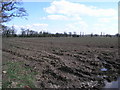
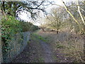
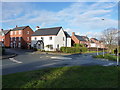
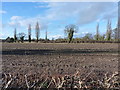
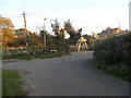
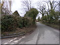


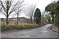
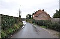
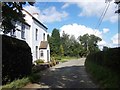
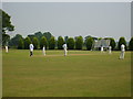
20 photos from this area
Area Information
Key information about the ST19 9LT including its size, population, and administrative classification.
- Area Type
- Postcode
- Area Size
- 31.2 hectares
- Population
- 1608
- Population Density
- 53 people/km²
House Prices in ST19 9LT
8
Properties
£676,000
Average Sold Price
£400,000
Lowest Price
£1,005,000
Highest Price
Showing 8 properties
| Address | Type | Beds | Baths | Last Sale Price | Last Sale Date | |
|---|---|---|---|---|---|---|
| Belvide House, Horsebrook Lane, Brewood, ST19 9LT | Detached | 4 | 1 | £650,000 | Feb 2023 | |
| Half Acre, Horsebrook Lane, Brewood, ST19 9LT | house | - | - | £830,000 | Nov 2022 | |
| Norbury House, Horsebrook Lane, Brewood, ST19 9LT | Detached | 4 | 2 | £495,000 | Feb 2018 | |
| Lea Cottage, Shutt Green Lane, Brewood, ST19 9LT | house | - | - | £400,000 | Jun 2008 | |
| Leabrook, Shutt Green Lane, Brewood, ST19 9LT | Detached | - | - | £1,005,000 | Sep 2007 | |
| Insignia Engineering (uk) Ltd, 23-30 Horsebrook Lane, Brewood, ST19 9LT | warehouse | - | - | - | - | |
| Horsebrook House, Horsebrook Lane, Brewood, ST19 9LT | house | - | - | - | - | |
| Mobile Home, Leabrook, Shutt Green Lane, Brewood, ST19 9LT | Mobile Home | - | - | - | - |
Energy Efficiency in ST19 9LT
Amenities
Schools
| Rank | School | Type | Entry gender | Ages |
|---|
Explore more schools in this area
Go to Schools tabDemographics
Household Size
Two person
most common
Accommodation Type
Houses
most common
Tenure
85
majority
Ethnic Group
White
most common
Religion
N/A
most common
Household Composition
N/A
most common
Age
47
median
Adults (30-64 years)
most common
Household Deprivation
N/A
with no deprivation
NS-SEC
44
in Lower managerial occupations
Explore more demographic insights in this area
Go to Demographics tabPlanning
Planning Constraints
- Flood RiskPremium
- Ramsar Wetland SitesPremium
- Area of Outstanding Natural BeautyPremium
- Protected Nature ReservePremium
- Protected WoodlandPremium