Area Overview for ST19 5BD
Photos of ST19 5BD
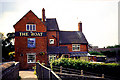
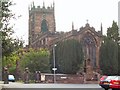

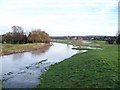


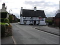
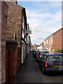
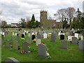
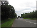
100 photos from this area
Area Information
Key information about the ST19 5BD including its size, population, and administrative classification.
- Area Type
- Postcode
- Area Size
- 7.4 hectares
- Population
- 1930
- Population Density
- 231 people/km²
House Prices in ST19 5BD
6
Properties
£362,500
Average Sold Price
£300,000
Lowest Price
£425,000
Highest Price
Showing 6 properties
| Address | Type | Beds | Baths | Last Sale Price | Last Sale Date | |
|---|---|---|---|---|---|---|
| Meadow View Cottage, Teddesley Road, Penkridge, ST19 5BD | Detached | 4 | - | £425,000 | Oct 2020 | |
| Mill End Cottage, Teddesley Road, Penkridge, ST19 5BD | Cottage | 2 | 1 | £300,000 | Oct 2020 | |
| Mill End, Teddesley Road, Penkridge, ST19 5BD | house | - | - | - | - | |
| Goosemarsh Cottage, Teddesley Road, Penkridge, ST19 5BD | Detached | - | - | - | - | |
| Russ James Design Ltd, The Old Mill, Teddesley Road, Penkridge, ST19 5BD | Office | - | - | - | - | |
| Magg Group Limited, The Roller Mill, Teddesley Road, Penkridge, ST19 5BD | office_workshop | - | - | - | - |
Energy Efficiency in ST19 5BD
Amenities
Schools
| Rank | School | Type | Entry gender | Ages |
|---|
Explore more schools in this area
Go to Schools tabDemographics
Household Size
Two person
most common
Accommodation Type
Houses
most common
Tenure
71
majority
Ethnic Group
White
most common
Religion
N/A
most common
Household Composition
N/A
most common
Age
47
median
Adults (30-64 years)
most common
Household Deprivation
N/A
with no deprivation
NS-SEC
31
in Lower managerial occupations
Explore more demographic insights in this area
Go to Demographics tabPlanning
Planning Constraints
- Flood RiskPremium
- Ramsar Wetland SitesPremium
- Area of Outstanding Natural BeautyPremium
- Protected Nature ReservePremium
- Protected WoodlandPremium