Area Overview for ST18 9AF
Photos of ST18 9AF
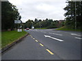
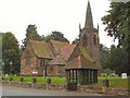
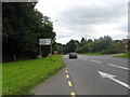
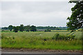

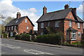
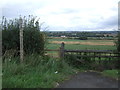
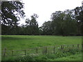
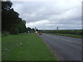
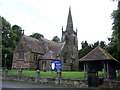
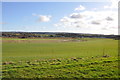
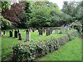
27 photos from this area
Area Information
Key information about the ST18 9AF including its size, population, and administrative classification.
- Area Type
- Postcode
- Area Size
- 3.2 hectares
- Population
- 1781
- Population Density
- 57 people/km²
House Prices in ST18 9AF
17
Properties
£213,286
Average Sold Price
£70,000
Lowest Price
£445,000
Highest Price
Showing 17 properties
| Address | Type | Beds | Baths | Last Sale Price | Last Sale Date | |
|---|---|---|---|---|---|---|
| Yewcroft, 16 Church Close, Dunston, ST18 9AF | Detached | 4 | 3 | £445,000 | Jun 2023 | |
| 9 Church Close, Dunston, ST18 9AF | Detached | 4 | 2 | £380,000 | Jun 2019 | |
| 6 Church Close, Dunston, ST18 9AF | Semi-detached | - | - | £154,000 | Dec 2008 | |
| 10 Church Close, Dunston, ST18 9AF | house | - | - | £249,950 | May 2004 | |
| 15 Church Close, Dunston, ST18 9AF | house | 5 | 3 | £190,000 | Apr 2001 | |
| 7 Church Close, Dunston, ST18 9AF | house | - | - | £177,250 | Jul 2000 | |
| 11 Church Close, Dunston, ST18 9AF | house | - | - | £165,000 | Sep 1998 | |
| 8 Church Close, Dunston, ST18 9AF | house | - | - | £165,000 | Jul 1998 | |
| 12 Church Close, Dunston, ST18 9AF | house | - | - | £179,950 | Dec 1997 | |
| 14 Church Close, Dunston, ST18 9AF | house | - | - | £170,000 | Oct 1997 |
Page 1 of 2
Energy Efficiency in ST18 9AF
Amenities
Schools
| Rank | School | Type | Entry gender | Ages |
|---|
Explore more schools in this area
Go to Schools tabDemographics
Household Size
Two person
most common
Accommodation Type
Houses
most common
Tenure
81
majority
Ethnic Group
White
most common
Religion
N/A
most common
Household Composition
N/A
most common
Age
47
median
Adults (30-64 years)
most common
Household Deprivation
N/A
with no deprivation
NS-SEC
47
in Lower managerial occupations
Explore more demographic insights in this area
Go to Demographics tabPlanning
Planning Constraints
- Flood RiskPremium
- Ramsar Wetland SitesPremium
- Area of Outstanding Natural BeautyPremium
- Protected Nature ReservePremium
- Protected WoodlandPremium