Area Overview for ST18 0NT
Photos of ST18 0NT
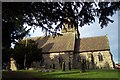
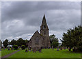
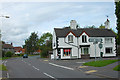
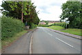
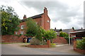
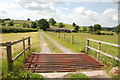
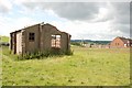
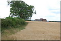
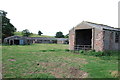

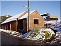
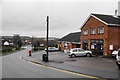
17 photos from this area
Area Information
Key information about the ST18 0NT including its size, population, and administrative classification.
- Area Type
- Postcode
- Area Size
- 1.5 hectares
- Population
- 2081
- Population Density
- 284 people/km²
House Prices in ST18 0NT
50
Properties
£136,124
Average Sold Price
£5,000
Lowest Price
£265,000
Highest Price
Showing 50 properties
| Address | Type | Beds | Baths | Last Sale Price | Last Sale Date | |
|---|---|---|---|---|---|---|
| 7 Meadow Glade, Hixon, Stafford, ST18 0NT | house | - | - | £220,000 | Oct 2025 | |
| 29 Meadow Glade, Hixon, Stafford, ST18 0NT | Semi-detached | 3 | 1 | £200,000 | Feb 2024 | |
| 28 Meadow Glade, Hixon, Stafford, ST18 0NT | Semi-detached | 3 | 1 | £247,500 | Sep 2023 | |
| 19 Meadow Glade, Hixon, Stafford, ST18 0NT | house | - | - | £265,000 | Jul 2023 | |
| 38 Meadow Glade, Hixon, Stafford, ST18 0NT | Detached | 3 | 1 | £255,000 | Mar 2022 | |
| 40 Meadow Glade, Hixon, Stafford, ST18 0NT | Semi-detached | 3 | 1 | £165,000 | Jun 2021 | |
| 60 Meadow Glade, Hixon, Stafford, ST18 0NT | Semi-detached | 3 | 1 | £195,000 | May 2021 | |
| 13 Meadow Glade, Hixon, Stafford, ST18 0NT | Semi-detached | 3 | 1 | £187,500 | Nov 2020 | |
| 36 Meadow Glade, Hixon, Stafford, ST18 0NT | house | - | - | £5,000 | Aug 2020 | |
| 22 Meadow Glade, Hixon, Stafford, ST18 0NT | house | - | - | £185,000 | Feb 2020 |
Page 1 of 5
Energy Efficiency in ST18 0NT
Amenities
Schools
| Rank | School | Type | Entry gender | Ages |
|---|
Explore more schools in this area
Go to Schools tabDemographics
Household Size
Two person
most common
Accommodation Type
Houses
most common
Tenure
82
majority
Ethnic Group
White
most common
Religion
N/A
most common
Household Composition
N/A
most common
Age
47
median
Adults (30-64 years)
most common
Household Deprivation
N/A
with no deprivation
NS-SEC
40
in Lower managerial occupations
Explore more demographic insights in this area
Go to Demographics tabPlanning
Planning Constraints
- Flood RiskPremium
- Ramsar Wetland SitesPremium
- Area of Outstanding Natural BeautyPremium
- Protected Nature ReservePremium
- Protected WoodlandPremium