Area Overview for ST18 0AH
Photos of ST18 0AH

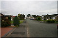
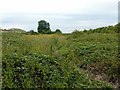

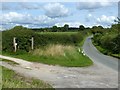
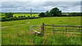
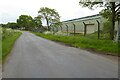


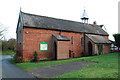
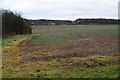
18 photos from this area
Area Information
Key information about the ST18 0AH including its size, population, and administrative classification.
- Area Type
- Postcode
- Area Size
- 23.3 hectares
- Population
- 1533
- Population Density
- 548 people/km²
House Prices in ST18 0AH
17
Properties
£233,750
Average Sold Price
£210,000
Lowest Price
£265,000
Highest Price
Showing 17 properties
| Address | Type | Beds | Baths | Last Sale Price | Last Sale Date | |
|---|---|---|---|---|---|---|
| Chapel View, Hopton Bank, Hopton, Stafford, ST18 0AH | Semi-detached | 2 | 1 | £230,000 | Dec 2017 | |
| Long Meadow Cottage, Hopton Lane, Hopton, Stafford, ST18 0AH | house | 2 | - | £210,000 | Jul 2015 | |
| Bank Cottage, Hopton Lane, Hopton, Stafford, ST18 0AH | Cottage | 2 | 1 | £230,000 | Nov 2008 | |
| Bank Top House, Hopton Lane, Hopton, Stafford, ST18 0AH | house | 5 | 2 | £265,000 | Nov 1998 | |
| Mount Farm, Hopton Lane, Hopton, Stafford, ST18 0AH | Detached | 4 | - | - | - | |
| Land At, Hopton Lane, Hopton, Stafford, ST18 0AH | undefined | - | - | - | - | |
| The Lea, Wilmore Hill Lane, Hopton, Stafford, ST18 0AH | Detached | - | - | - | - | |
| Bank Cottages, Hopton Lane, Hopton, Stafford, ST18 0AH | house | - | - | - | - | |
| Malhic Cottage, Hopton Bank, Hopton, Stafford, ST18 0AH | house | - | - | - | - | |
| Lowerbridge Farm, Hopton Lane, Hopton, Stafford, ST18 0AH | house | - | - | - | - |
Page 1 of 2
Energy Efficiency in ST18 0AH
Amenities
Schools
| Rank | School | Type | Entry gender | Ages |
|---|
Explore more schools in this area
Go to Schools tabDemographics
Household Size
Family (3-5 people)
most common
Accommodation Type
Houses
most common
Tenure
73
majority
Ethnic Group
White
most common
Religion
N/A
most common
Household Composition
N/A
most common
Age
47
median
Adults (30-64 years)
most common
Household Deprivation
N/A
with no deprivation
NS-SEC
46
in Lower managerial occupations
Explore more demographic insights in this area
Go to Demographics tabPlanning
Planning Constraints
- Flood RiskPremium
- Ramsar Wetland SitesPremium
- Area of Outstanding Natural BeautyPremium
- Protected Nature ReservePremium
- Protected WoodlandPremium