Area Overview for ST17 9HR
Photos of ST17 9HR
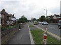
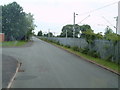
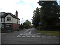
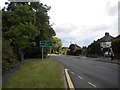
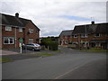

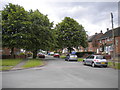
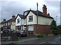
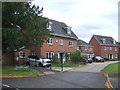
37 photos from this area
Area Information
Key information about the ST17 9HR including its size, population, and administrative classification.
- Area Type
- Postcode
- Area Size
- 3277 m²
- Population
- 1552
- Population Density
- 5041 people/km²
House Prices in ST17 9HR
6
Properties
£195,500
Average Sold Price
£68,000
Lowest Price
£290,000
Highest Price
Showing 6 properties
| Address | Type | Beds | Baths | Last Sale Price | Last Sale Date | |
|---|---|---|---|---|---|---|
| 39 Gravel Lane, Mosspit, Stafford, ST17 9HR | Bungalow | 3 | 1 | £290,000 | Jul 2025 | |
| 41 Gravel Lane, Mosspit, Stafford, ST17 9HR | Bungalow | 3 | 1 | £235,000 | Sep 2020 | |
| 40 Gravel Lane, Mosspit, Stafford, ST17 9HR | Bungalow | 3 | 1 | £190,000 | Jun 2020 | |
| 36 Gravel Lane, Mosspit, Stafford, ST17 9HR | Bungalow | 3 | 1 | £215,000 | Jan 2019 | |
| 37 Gravel Lane, Mosspit, Stafford, ST17 9HR | Bungalow | 3 | 1 | £175,000 | Oct 2017 | |
| 38 Gravel Lane, Mosspit, Stafford, ST17 9HR | Bungalow | 3 | 1 | £68,000 | Jan 1999 |
Energy Efficiency in ST17 9HR
Amenities
Schools
| Rank | School | Type | Entry gender | Ages |
|---|
Explore more schools in this area
Go to Schools tabDemographics
Household Size
One person
most common
Accommodation Type
Houses
most common
Tenure
49
majority
Ethnic Group
White
most common
Religion
N/A
most common
Household Composition
N/A
most common
Age
47
median
Adults (30-64 years)
most common
Household Deprivation
N/A
with no deprivation
NS-SEC
26
in Lower managerial occupations
Explore more demographic insights in this area
Go to Demographics tabPlanning
Planning Constraints
- Flood RiskPremium
- Ramsar Wetland SitesPremium
- Area of Outstanding Natural BeautyPremium
- Protected Nature ReservePremium
- Protected WoodlandPremium