Area Overview for ST17 0RQ
Photos of ST17 0RQ
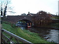
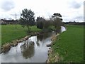
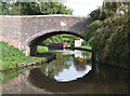
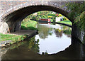

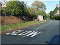
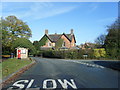
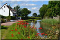
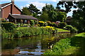
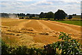
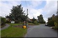
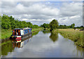
71 photos from this area
Area Information
Key information about the ST17 0RQ including its size, population, and administrative classification.
- Area Type
- Postcode
- Area Size
- 11.7 hectares
- Population
- 1781
- Population Density
- 57 people/km²
House Prices in ST17 0RQ
65
Properties
£368,207
Average Sold Price
£132,000
Lowest Price
£730,000
Highest Price
Showing 65 properties
| Address | Type | Beds | Baths | Last Sale Price | Last Sale Date | |
|---|---|---|---|---|---|---|
| Trefaldwyn, Top Road, Acton Trussell, ST17 0RQ | Detached | 5 | 3 | £725,000 | Jun 2023 | |
| Aedion, Top Road, Acton Trussell, ST17 0RQ | Detached | 4 | 2 | £605,500 | Apr 2023 | |
| Birchlawns, Top Road, Acton Trussell, ST17 0RQ | Detached | 4 | 1 | £450,000 | Jan 2023 | |
| Graze Brook, Top Road, Acton Trussell, ST17 0RQ | Detached | 4 | 4 | £730,000 | Aug 2022 | |
| Ingleside, Top Road, Acton Trussell, ST17 0RQ | house | - | - | £570,000 | May 2021 | |
| Willow Croft, Top Road, Acton Trussell, ST17 0RQ | Detached | 4 | 3 | £470,000 | Mar 2021 | |
| 10 Top Road, Acton Trussell, ST17 0RQ | Detached | 6 | 4 | £675,000 | Aug 2020 | |
| The Grange, Top Road, Acton Trussell, ST17 0RQ | house | - | - | £505,000 | Aug 2020 | |
| Yasumi, Top Road, Acton Trussell, ST17 0RQ | Bungalow | 3 | 1 | £340,000 | Aug 2020 | |
| Dellwood Heights, Top Road, Acton Trussell, ST17 0RQ | Detached | 4 | 2 | £420,000 | Dec 2019 |
Page 1 of 7
Energy Efficiency in ST17 0RQ
Amenities
Schools
| Rank | School | Type | Entry gender | Ages |
|---|
Explore more schools in this area
Go to Schools tabDemographics
Household Size
Two person
most common
Accommodation Type
Houses
most common
Tenure
81
majority
Ethnic Group
White
most common
Religion
N/A
most common
Household Composition
N/A
most common
Age
47
median
Adults (30-64 years)
most common
Household Deprivation
N/A
with no deprivation
NS-SEC
47
in Lower managerial occupations
Explore more demographic insights in this area
Go to Demographics tabPlanning
Planning Constraints
- Flood RiskPremium
- Ramsar Wetland SitesPremium
- Area of Outstanding Natural BeautyPremium
- Protected Nature ReservePremium
- Protected WoodlandPremium