Area Overview for ST17 0JS
Photos of ST17 0JS

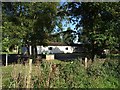

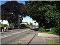
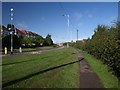
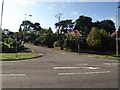
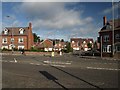
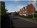
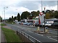
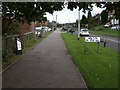
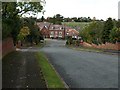
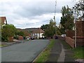
79 photos from this area
Area Information
Key information about the ST17 0JS including its size, population, and administrative classification.
- Area Type
- Postcode
- Area Size
- 3.8 hectares
- Population
- 2614
- Population Density
- 225 people/km²
House Prices in ST17 0JS
23
Properties
£309,385
Average Sold Price
£120,000
Lowest Price
£825,000
Highest Price
Showing 23 properties
| Address | Type | Beds | Baths | Last Sale Price | Last Sale Date | |
|---|---|---|---|---|---|---|
| 39 Stockton Lane, Weeping Cross, Stafford, ST17 0JS | Detached | 4 | 3 | £825,000 | Dec 2024 | |
| 58 Stockton Lane, Weeping Cross, Stafford, ST17 0JS | Detached | 3 | 2 | £292,000 | Feb 2024 | |
| Chase Ridge, Stockton Lane, Weeping Cross, Stafford, ST17 0JS | house | - | - | £552,000 | Mar 2022 | |
| 35 Stockton Lane, Weeping Cross, Stafford, ST17 0JS | Semi-detached | 3 | 1 | £275,000 | Oct 2018 | |
| 43 Stockton Lane, Weeping Cross, Stafford, ST17 0JS | house | - | - | £307,000 | Dec 2017 | |
| 56 Stockton Lane, Weeping Cross, Stafford, ST17 0JS | house | - | - | £365,000 | May 2016 | |
| 36 Stockton Lane, Weeping Cross, Stafford, ST17 0JS | Detached | 3 | - | £235,000 | Apr 2014 | |
| 44 Stockton Lane, Weeping Cross, Stafford, ST17 0JS | Detached | - | - | £370,000 | Apr 2005 | |
| 52 Stockton Lane, Weeping Cross, Stafford, ST17 0JS | Detached | - | - | £182,000 | Jul 2001 | |
| 42 Stockton Lane, Weeping Cross, Stafford, ST17 0JS | Detached | - | - | £222,500 | Jan 2001 |
Page 1 of 3
Energy Efficiency in ST17 0JS
Amenities
Schools
| Rank | School | Type | Entry gender | Ages |
|---|
Explore more schools in this area
Go to Schools tabDemographics
Household Size
Two person
most common
Accommodation Type
Houses
most common
Tenure
90
majority
Ethnic Group
White
most common
Religion
N/A
most common
Household Composition
N/A
most common
Age
47
median
Adults (30-64 years)
most common
Household Deprivation
N/A
with no deprivation
NS-SEC
53
in Lower managerial occupations
Explore more demographic insights in this area
Go to Demographics tabPlanning
Planning Constraints
- Flood RiskPremium
- Ramsar Wetland SitesPremium
- Area of Outstanding Natural BeautyPremium
- Protected Nature ReservePremium
- Protected WoodlandPremium