Area Overview for ST16 3HD
Photos of ST16 3HD
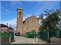

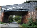
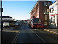
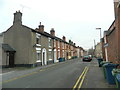
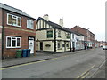
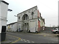
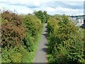
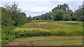
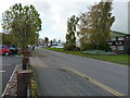
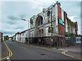
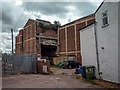
53 photos from this area
Area Information
Key information about the ST16 3HD including its size, population, and administrative classification.
- Area Type
- Postcode
- Area Size
- 1.0 hectares
- Population
- 1647
- Population Density
- 3848 people/km²
House Prices in ST16 3HD
65
Properties
£102,800
Average Sold Price
£26,050
Lowest Price
£180,000
Highest Price
Showing 65 properties
| Address | Type | Beds | Baths | Last Sale Price | Last Sale Date | |
|---|---|---|---|---|---|---|
| 19 Peel Terrace, Stafford, ST16 3HD | Terraced | 4 | - | £87,000 | Sep 2025 | |
| 22 Peel Terrace, Stafford, ST16 3HD | Terraced | 3 | 1 | £180,000 | Jul 2025 | |
| 20 Peel Terrace, Stafford, ST16 3HD | Terraced | 3 | 1 | £120,000 | Oct 2024 | |
| 99 Peel Terrace, Stafford, ST16 3HD | Terraced | 2 | 1 | £148,000 | Apr 2024 | |
| 7 Peel Terrace, Stafford, ST16 3HD | Terraced | 2 | 1 | £125,000 | Feb 2024 | |
| 88 Peel Terrace, Stafford, ST16 3HD | Terraced | 2 | 1 | £162,000 | Jun 2023 | |
| 21 Peel Terrace, Stafford, ST16 3HD | Terraced | 3 | 1 | £140,000 | Nov 2021 | |
| 82 Peel Terrace, Stafford, ST16 3HD | house | - | - | £90,000 | Oct 2021 | |
| 4 Peel Terrace, Stafford, ST16 3HD | Terraced | 2 | 1 | £130,000 | Jun 2021 | |
| 91 Peel Terrace, Stafford, ST16 3HD | Terraced | 2 | 1 | £121,000 | Nov 2020 |
Page 1 of 7
Energy Efficiency in ST16 3HD
Amenities
Schools
| Rank | School | Type | Entry gender | Ages |
|---|
Explore more schools in this area
Go to Schools tabDemographics
Household Size
One person
most common
Accommodation Type
Houses
most common
Tenure
46
majority
Ethnic Group
White
most common
Religion
N/A
most common
Household Composition
N/A
most common
Age
47
median
Adults (30-64 years)
most common
Household Deprivation
N/A
with no deprivation
NS-SEC
28
in Lower managerial occupations
Explore more demographic insights in this area
Go to Demographics tabPlanning
Planning Constraints
- Flood RiskPremium
- Ramsar Wetland SitesPremium
- Area of Outstanding Natural BeautyPremium
- Protected Nature ReservePremium
- Protected WoodlandPremium