Area Overview for ST15 8NX
Photos of ST15 8NX
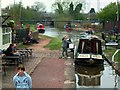
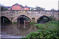
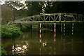
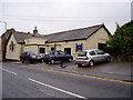
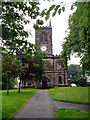
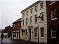
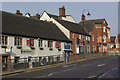
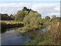
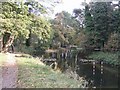
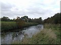
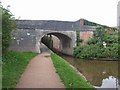
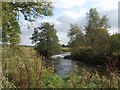
100 photos from this area
Area Information
Key information about the ST15 8NX including its size, population, and administrative classification.
- Area Type
- Postcode
- Area Size
- 7136 m²
- Population
- 1542
- Population Density
- 2726 people/km²
House Prices in ST15 8NX
18
Properties
£129,931
Average Sold Price
£50,000
Lowest Price
£190,000
Highest Price
Showing 18 properties
| Address | Type | Beds | Baths | Last Sale Price | Last Sale Date | |
|---|---|---|---|---|---|---|
| 3 Jervis Road, Stone, ST15 8NX | Semi-detached | 3 | 1 | £179,000 | Sep 2024 | |
| 4 Jervis Road, Stone, ST15 8NX | Terraced | 3 | 1 | £115,000 | Jun 2024 | |
| 15 Jervis Road, Stone, ST15 8NX | Retail | 3 | 1 | £190,000 | Dec 2022 | |
| 18 Jervis Road, Stone, ST15 8NX | Terraced | 3 | 1 | £149,950 | Feb 2016 | |
| 16 Jervis Road, Stone, ST15 8NX | house | 3 | 1 | £123,000 | Feb 2015 | |
| 2 Jervis Road, Stone, ST15 8NX | Terraced | - | - | £122,500 | Jun 2007 | |
| 8 Jervis Road, Stone, ST15 8NX | Terraced | - | - | £110,000 | Apr 2007 | |
| 13 Jervis Road, Stone, ST15 8NX | house | - | - | £50,000 | Apr 2000 | |
| 17 Jervis Road, Stone, ST15 8NX | Terraced | - | - | - | - | |
| 6 Jervis Road, Stone, ST15 8NX | Terraced | - | - | - | - |
Page 1 of 2
Energy Efficiency in ST15 8NX
Amenities
Schools
| Rank | School | Type | Entry gender | Ages |
|---|
Explore more schools in this area
Go to Schools tabDemographics
Household Size
Two person
most common
Accommodation Type
Houses
most common
Tenure
58
majority
Ethnic Group
White
most common
Religion
N/A
most common
Household Composition
N/A
most common
Age
47
median
Adults (30-64 years)
most common
Household Deprivation
N/A
with no deprivation
NS-SEC
32
in Lower managerial occupations
Explore more demographic insights in this area
Go to Demographics tabPlanning
Planning Constraints
- Flood RiskPremium
- Ramsar Wetland SitesPremium
- Area of Outstanding Natural BeautyPremium
- Protected Nature ReservePremium
- Protected WoodlandPremium