Area Overview for ST14 8UP
Photos of ST14 8UP
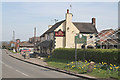
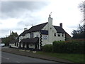
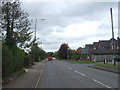
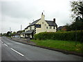
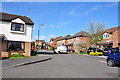
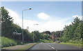
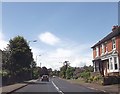
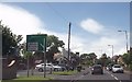
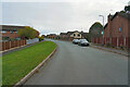
10 photos from this area
Area Information
Key information about the ST14 8UP including its size, population, and administrative classification.
- Area Type
- Postcode
- Area Size
- 3.8 hectares
- Population
- 1544
- Population Density
- 1132 people/km²
House Prices in ST14 8UP
76
Properties
£261,497
Average Sold Price
£75,950
Lowest Price
£482,500
Highest Price
Showing 76 properties
| Address | Type | Beds | Baths | Last Sale Price | Last Sale Date | |
|---|---|---|---|---|---|---|
| 10 Sorrel Close, Uttoxeter, ST14 8UP | house | 3 | 2 | £280,000 | Mar 2025 | |
| 65 Sorrel Close, Uttoxeter, ST14 8UP | house | - | - | £227,500 | Dec 2024 | |
| 39 Sorrel Close, Uttoxeter, ST14 8UP | house | - | - | £342,500 | May 2024 | |
| 77 Sorrel Close, Uttoxeter, ST14 8UP | house | - | - | £482,500 | Sep 2023 | |
| 52 Sorrel Close, Uttoxeter, ST14 8UP | Detached | 4 | 2 | £475,000 | Mar 2023 | |
| 26 Sorrel Close, Uttoxeter, ST14 8UP | house | - | - | £475,000 | Jun 2022 | |
| 28 Sorrel Close, Uttoxeter, ST14 8UP | house | - | - | £390,000 | Jun 2022 | |
| 46 Sorrel Close, Uttoxeter, ST14 8UP | house | - | - | £426,800 | May 2022 | |
| 42 Sorrel Close, Uttoxeter, ST14 8UP | house | - | - | £450,000 | Apr 2022 | |
| 44 Sorrel Close, Uttoxeter, ST14 8UP | house | - | - | £450,000 | Apr 2022 |
Page 1 of 8
Energy Efficiency in ST14 8UP
Amenities
Schools
| Rank | School | Type | Entry gender | Ages |
|---|
Explore more schools in this area
Go to Schools tabDemographics
Household Size
Family (3-5 people)
most common
Accommodation Type
Houses
most common
Tenure
81
majority
Ethnic Group
White
most common
Religion
N/A
most common
Household Composition
N/A
most common
Age
47
median
Adults (30-64 years)
most common
Household Deprivation
N/A
with no deprivation
NS-SEC
39
in Lower managerial occupations
Explore more demographic insights in this area
Go to Demographics tabPlanning
Planning Constraints
- Flood RiskPremium
- Ramsar Wetland SitesPremium
- Area of Outstanding Natural BeautyPremium
- Protected Nature ReservePremium
- Protected WoodlandPremium