Area Overview for ST14 8EA
Photos of ST14 8EA
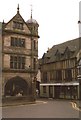
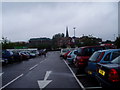
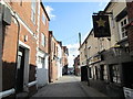
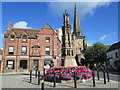
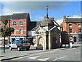
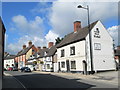
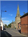
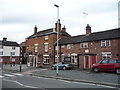
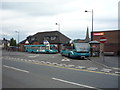
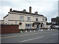
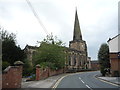
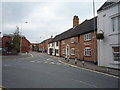
100 photos from this area
Area Information
Key information about the ST14 8EA including its size, population, and administrative classification.
- Area Type
- Postcode
- Area Size
- 1.1 hectares
- Population
- 1979
- Population Density
- 2099 people/km²
House Prices in ST14 8EA
29
Properties
£147,676
Average Sold Price
£53,000
Lowest Price
£290,000
Highest Price
Showing 29 properties
| Address | Type | Beds | Baths | Last Sale Price | Last Sale Date | |
|---|---|---|---|---|---|---|
| 68 Derby Road, Uttoxeter, ST14 8EA | house | 2 | - | £155,000 | Jan 2023 | |
| 56F Derby Road, Uttoxeter, ST14 8EA | house | - | - | £192,000 | Sep 2021 | |
| 56E Derby Road, Uttoxeter, ST14 8EA | house | - | - | £200,000 | Sep 2021 | |
| The Ash, 56A Derby Road, Uttoxeter, ST14 8EA | Terraced | 2 | 2 | £140,650 | Feb 2021 | |
| 78 Derby Road, Uttoxeter, ST14 8EA | house | - | - | £120,500 | Nov 2020 | |
| 70 Derby Road, Uttoxeter, ST14 8EA | Terraced | 2 | 1 | £136,000 | May 2019 | |
| 48 Derby Road, Uttoxeter, ST14 8EA | Detached | 3 | 1 | £190,000 | Dec 2017 | |
| 2, The Firs, Derby Road, Uttoxeter, ST14 8EA | Terraced | 2 | 2 | £151,000 | May 2017 | |
| 1, The Firs, Derby Road, Uttoxeter, ST14 8EA | Terraced | 2 | - | £151,000 | May 2017 | |
| The Yew, 56 Derby Road, Uttoxeter, ST14 8EA | Terraced | 2 | - | £146,000 | Mar 2017 |
Page 1 of 3
Energy Efficiency in ST14 8EA
Amenities
Schools
| Rank | School | Type | Entry gender | Ages |
|---|
Explore more schools in this area
Go to Schools tabDemographics
Household Size
Two person
most common
Accommodation Type
Houses
most common
Tenure
63
majority
Ethnic Group
White
most common
Religion
N/A
most common
Household Composition
N/A
most common
Age
47
median
Adults (30-64 years)
most common
Household Deprivation
N/A
with no deprivation
NS-SEC
28
in Lower managerial occupations
Explore more demographic insights in this area
Go to Demographics tabPlanning
Planning Constraints
- Flood RiskPremium
- Ramsar Wetland SitesPremium
- Area of Outstanding Natural BeautyPremium
- Protected Nature ReservePremium
- Protected WoodlandPremium