Area Overview for ST14 8AA
Photos of ST14 8AA
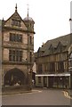
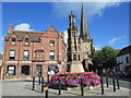
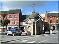
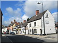
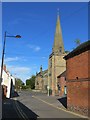
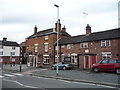
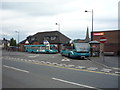
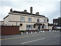
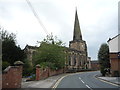
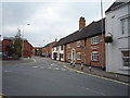
100 photos from this area
Area Information
Key information about the ST14 8AA including its size, population, and administrative classification.
- Area Type
- Postcode
- Area Size
- 1.1 hectares
- Population
- 1735
- Population Density
- 367 people/km²
House Prices in ST14 8AA
8
Properties
£109,000
Average Sold Price
£109,000
Lowest Price
£109,000
Highest Price
Showing 8 properties
| Address | Type | Beds | Baths | Last Sale Price | Last Sale Date | |
|---|---|---|---|---|---|---|
| East View, 52 Church Street, Uttoxeter, ST14 8AA | Detached | 5 | 1 | £109,000 | Dec 2000 | |
| 56 Church Street, Uttoxeter, ST14 8AA | Semi-detached | 4 | - | - | - | |
| The Old Vicarage, 26 Church Street, Uttoxeter, ST14 8AA | house | - | - | - | - | |
| Flat Over, 36 Church Street, Uttoxeter, ST14 8AA | Flat | - | - | - | - | |
| 40 Church Street, Uttoxeter, ST14 8AA | undefined | - | - | - | - | |
| Thorncliffe, 54 Church Street, Uttoxeter, ST14 8AA | office_workshop | - | - | - | - | |
| Ranco Stonemasonry Limited, Office Over, 34 Church Street, Uttoxeter, ST14 8AA | Office | - | - | - | - | |
| Salon 14, 34A Church Street, Uttoxeter, ST14 8AA | shop | - | - | - | - |
Energy Efficiency in ST14 8AA
Amenities
Schools
| Rank | School | Type | Entry gender | Ages |
|---|
Explore more schools in this area
Go to Schools tabDemographics
Household Size
One person
most common
Accommodation Type
Houses
most common
Tenure
67
majority
Ethnic Group
White
most common
Religion
N/A
most common
Household Composition
N/A
most common
Age
47
median
Adults (30-64 years)
most common
Household Deprivation
N/A
with no deprivation
NS-SEC
38
in Lower managerial occupations
Explore more demographic insights in this area
Go to Demographics tabPlanning
Planning Constraints
- Flood RiskPremium
- Ramsar Wetland SitesPremium
- Area of Outstanding Natural BeautyPremium
- Protected Nature ReservePremium
- Protected WoodlandPremium