Area Overview for ST14 7PG
Photos of ST14 7PG
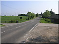
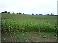
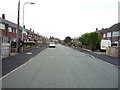
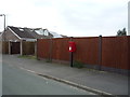
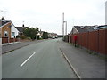
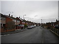
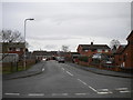
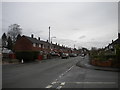
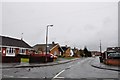
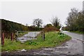
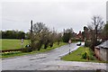
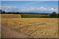
17 photos from this area
Area Information
Key information about the ST14 7PG including its size, population, and administrative classification.
- Area Type
- Postcode
- Area Size
- 3.1 hectares
- Population
- 2518
- Population Density
- 1113 people/km²
House Prices in ST14 7PG
33
Properties
£332,431
Average Sold Price
£99,950
Lowest Price
£765,000
Highest Price
Showing 33 properties
| Address | Type | Beds | Baths | Last Sale Price | Last Sale Date | |
|---|---|---|---|---|---|---|
| 32 Bramshall Road, Uttoxeter, ST14 7PG | Detached | 4 | 1 | £465,000 | Jul 2025 | |
| 28 Bramshall Road, Uttoxeter, ST14 7PG | Detached | 5 | 2 | £765,000 | Jun 2025 | |
| 50 Bramshall Road, Uttoxeter, ST14 7PG | Bungalow | 2 | 1 | £277,000 | Jul 2023 | |
| 48 Bramshall Road, Uttoxeter, ST14 7PG | Semi-detached | 2 | 1 | £275,000 | Jul 2022 | |
| 10 Bramshall Road, Uttoxeter, ST14 7PG | Detached | 5 | 3 | £505,000 | Jun 2021 | |
| Charnes, Bramshall Road, Uttoxeter, ST14 7PG | Land | - | - | £480,000 | Apr 2021 | |
| 52 Bramshall Road, Uttoxeter, ST14 7PG | Semi-detached | 3 | 1 | £209,950 | Sep 2020 | |
| 30 Bramshall Road, Uttoxeter, ST14 7PG | Bungalow | 3 | 2 | £290,000 | Aug 2018 | |
| Midway, Bramshall Road, Uttoxeter, ST14 7PG | Semi-detached | - | - | £509,130 | Apr 2017 | |
| 46 Bramshall Road, Uttoxeter, ST14 7PG | Bungalow | - | - | £210,500 | Sep 2015 |
Page 1 of 4
Energy Efficiency in ST14 7PG
Amenities
Schools
| Rank | School | Type | Entry gender | Ages |
|---|
Explore more schools in this area
Go to Schools tabDemographics
Household Size
Family (3-5 people)
most common
Accommodation Type
Houses
most common
Tenure
84
majority
Ethnic Group
White
most common
Religion
N/A
most common
Household Composition
N/A
most common
Age
47
median
Adults (30-64 years)
most common
Household Deprivation
N/A
with no deprivation
NS-SEC
36
in Lower managerial occupations
Explore more demographic insights in this area
Go to Demographics tabPlanning
Planning Constraints
- Flood RiskPremium
- Ramsar Wetland SitesPremium
- Area of Outstanding Natural BeautyPremium
- Protected Nature ReservePremium
- Protected WoodlandPremium