Area Overview for ST14 7BY
Photos of ST14 7BY
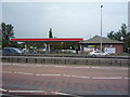
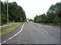
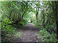
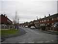
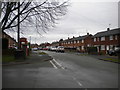
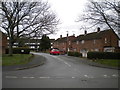
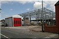
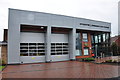
22 photos from this area
Area Information
Key information about the ST14 7BY including its size, population, and administrative classification.
- Area Type
- Postcode
- Area Size
- 9692 m²
- Population
- 1979
- Population Density
- 2099 people/km²
House Prices in ST14 7BY
9
Properties
£109,590
Average Sold Price
£53,000
Lowest Price
£157,000
Highest Price
Showing 9 properties
| Address | Type | Beds | Baths | Last Sale Price | Last Sale Date | |
|---|---|---|---|---|---|---|
| 68 Cheadle Road, Uttoxeter, ST14 7BY | house | - | - | £53,000 | Oct 2025 | |
| 74 Cheadle Road, Uttoxeter, ST14 7BY | house | - | - | £141,950 | Sep 2017 | |
| 70 Cheadle Road, Uttoxeter, ST14 7BY | house | - | - | £157,000 | Feb 2017 | |
| 76 Cheadle Road, Uttoxeter, ST14 7BY | house | - | - | £115,000 | Feb 2012 | |
| 100 Cheadle Road, Uttoxeter, ST14 7BY | Detached | - | - | £81,000 | Oct 1998 | |
| 66 Cheadle Road, Uttoxeter, ST14 7BY | Terraced | - | - | - | - | |
| 72 Cheadle Road, Uttoxeter, ST14 7BY | house | - | - | - | - | |
| 90 Cheadle Road, Uttoxeter, ST14 7BY | house | - | - | - | - | |
| Heath House Clinic, Cheadle Road, Uttoxeter, ST14 7BY | Office | - | - | - | - |
Energy Efficiency in ST14 7BY
Amenities
Schools
| Rank | School | Type | Entry gender | Ages |
|---|
Explore more schools in this area
Go to Schools tabDemographics
Household Size
Two person
most common
Accommodation Type
Houses
most common
Tenure
63
majority
Ethnic Group
White
most common
Religion
N/A
most common
Household Composition
N/A
most common
Age
47
median
Adults (30-64 years)
most common
Household Deprivation
N/A
with no deprivation
NS-SEC
28
in Lower managerial occupations
Explore more demographic insights in this area
Go to Demographics tabPlanning
Planning Constraints
- Flood RiskPremium
- Ramsar Wetland SitesPremium
- Area of Outstanding Natural BeautyPremium
- Protected Nature ReservePremium
- Protected WoodlandPremium