Area Overview for ST14 7AQ
Photos of ST14 7AQ
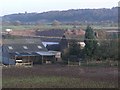

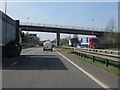
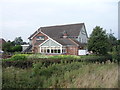
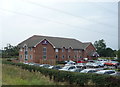
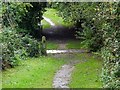
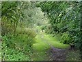
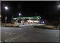
39 photos from this area
Area Information
Key information about the ST14 7AQ including its size, population, and administrative classification.
- Area Type
- Postcode
- Area Size
- 3.2 hectares
- Population
- 1979
- Population Density
- 2099 people/km²
House Prices in ST14 7AQ
62
Properties
£123,854
Average Sold Price
£25,000
Lowest Price
£380,000
Highest Price
Showing 62 properties
| Address | Type | Beds | Baths | Last Sale Price | Last Sale Date | |
|---|---|---|---|---|---|---|
| 53 Park Street, Uttoxeter, ST14 7AQ | Semi-detached | 2 | 1 | £164,500 | Apr 2024 | |
| The Gables, Park Street, Uttoxeter, ST14 7AQ | Detached | 4 | 2 | £380,000 | Sep 2021 | |
| 64 Park Street, Uttoxeter, ST14 7AQ | house | - | - | £90,500 | Aug 2021 | |
| 93 Park Street, Uttoxeter, ST14 7AQ | house | 3 | - | £160,000 | Jul 2021 | |
| 66 Park Street, Uttoxeter, ST14 7AQ | Semi-detached | 4 | 2 | £175,000 | Apr 2019 | |
| 69A Park Street, Uttoxeter, ST14 7AQ | Maisonette | 2 | 1 | £80,000 | Mar 2019 | |
| 40A Park Street, Uttoxeter, ST14 7AQ | Maisonette | - | - | £103,000 | Mar 2019 | |
| 60 Park Street, Uttoxeter, ST14 7AQ | Terraced | 1 | 1 | £96,000 | Nov 2018 | |
| 42A Park Street, Uttoxeter, ST14 7AQ | Maisonette | - | - | £91,000 | Oct 2018 | |
| 109 Park Street, Uttoxeter, ST14 7AQ | Semi-detached | 3 | 1 | £160,000 | Sep 2018 |
Page 1 of 7
Energy Efficiency in ST14 7AQ
Amenities
Schools
| Rank | School | Type | Entry gender | Ages |
|---|
Explore more schools in this area
Go to Schools tabDemographics
Household Size
Two person
most common
Accommodation Type
Houses
most common
Tenure
63
majority
Ethnic Group
White
most common
Religion
N/A
most common
Household Composition
N/A
most common
Age
47
median
Adults (30-64 years)
most common
Household Deprivation
N/A
with no deprivation
NS-SEC
28
in Lower managerial occupations
Explore more demographic insights in this area
Go to Demographics tabPlanning
Planning Constraints
- Flood RiskPremium
- Ramsar Wetland SitesPremium
- Area of Outstanding Natural BeautyPremium
- Protected Nature ReservePremium
- Protected WoodlandPremium