Area Overview for ST13 8RS
Photos of ST13 8RS
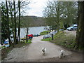
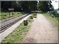
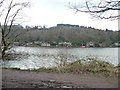
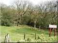
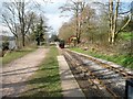
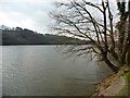
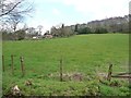
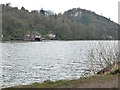
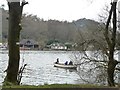
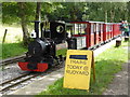
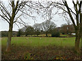
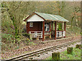
52 photos from this area
Area Information
Key information about the ST13 8RS including its size, population, and administrative classification.
- Area Type
- Postcode
- Area Size
- 75.5 hectares
- Population
- 1845
- Population Density
- 43 people/km²
House Prices in ST13 8RS
38
Properties
£390,714
Average Sold Price
£35,000
Lowest Price
£695,000
Highest Price
Showing 38 properties
| Address | Type | Beds | Baths | Last Sale Price | Last Sale Date | |
|---|---|---|---|---|---|---|
| Hollyoaks, Reacliffe Road, Rudyard, ST13 8RS | Detached | - | - | £640,000 | May 2022 | |
| The Laurels, Reacliffe Road, Rudyard, ST13 8RS | Bungalow | - | - | £640,000 | May 2022 | |
| Fernbank, Reacliffe Road, Rudyard, ST13 8RS | Detached | 3 | 2 | £695,000 | Jan 2021 | |
| Red Oaks, Reacliffe Road, Rudyard, ST13 8RS | house | - | - | £675,000 | Oct 2020 | |
| Woodlea, Reacliffe Road, Rudyard, ST13 8RS | Bungalow | 4 | 3 | £362,500 | Jul 2018 | |
| The Sheiling, Reacliffe Road, Rudyard, ST13 8RS | Detached | 2 | 1 | £475,000 | Jun 2016 | |
| Lakeside, Reacliffe Road, Rudyard, ST13 8RS | house | - | - | £617,500 | Jul 2007 | |
| Braeside, Reacliffe Road, Rudyard, ST13 8RS | Detached | - | - | £250,000 | Mar 2007 | |
| Lower Horton Lodge, Reacliffe Road, Rudyard, ST13 8RS | Detached | - | - | £560,000 | Mar 2007 | |
| The Bothy, Reacliffe Road, Rudyard, ST13 8RS | Bungalow | 2 | 1 | £230,000 | Sep 2006 |
Page 1 of 4
Energy Efficiency in ST13 8RS
Amenities
Schools
| Rank | School | Type | Entry gender | Ages |
|---|
Explore more schools in this area
Go to Schools tabDemographics
Household Size
Two person
most common
Accommodation Type
Houses
most common
Tenure
88
majority
Ethnic Group
White
most common
Religion
N/A
most common
Household Composition
N/A
most common
Age
47
median
Adults (30-64 years)
most common
Household Deprivation
N/A
with no deprivation
NS-SEC
39
in Lower managerial occupations
Explore more demographic insights in this area
Go to Demographics tabPlanning
Planning Constraints
- Flood RiskPremium
- Ramsar Wetland SitesPremium
- Area of Outstanding Natural BeautyPremium
- Protected Nature ReservePremium
- Protected WoodlandPremium