Area Overview for ST13 8HA
Photos of ST13 8HA
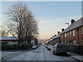
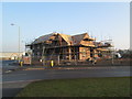
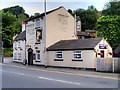
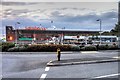
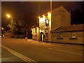
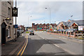
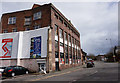
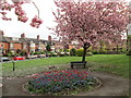
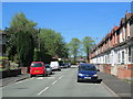
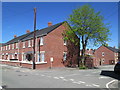
100 photos from this area
Area Information
Key information about the ST13 8HA including its size, population, and administrative classification.
- Area Type
- Postcode
- Area Size
- 2956 m²
- Population
- 1115
- Population Density
- 400 people/km²
House Prices in ST13 8HA
24
Properties
£76,220
Average Sold Price
£56,600
Lowest Price
£110,000
Highest Price
Showing 24 properties
| Address | Type | Beds | Baths | Last Sale Price | Last Sale Date | |
|---|---|---|---|---|---|---|
| 156 Mill Street, Leek, ST13 8HA | Maisonette | - | - | £88,000 | Feb 2025 | |
| 120 Mill Street, Leek, ST13 8HA | Flat | - | - | £67,500 | Jun 2020 | |
| 130 Mill Street, Leek, ST13 8HA | Flat | 1 | 1 | £59,000 | Jan 2018 | |
| 116 Mill Street, Leek, ST13 8HA | Flat | 2 | 2 | £110,000 | Nov 2016 | |
| 114 Mill Street, Leek, ST13 8HA | Flat | - | - | £56,600 | Apr 2009 | |
| 118 Mill Street, Leek, ST13 8HA | Flat | - | - | - | - | |
| 110 Mill Street, Leek, ST13 8HA | Terraced | 3 | 2 | - | - | |
| 112 Mill Street, Leek, ST13 8HA | Semi-detached | 3 | 2 | - | - | |
| 122 Mill Street, Leek, ST13 8HA | Flat | - | - | - | - | |
| 148 Mill Street, Leek, ST13 8HA | Flat | - | - | - | - |
Page 1 of 3
Energy Efficiency in ST13 8HA
Amenities
Schools
| Rank | School | Type | Entry gender | Ages |
|---|
Explore more schools in this area
Go to Schools tabDemographics
Household Size
One person
most common
Accommodation Type
Houses
most common
Tenure
62
majority
Ethnic Group
White
most common
Religion
N/A
most common
Household Composition
N/A
most common
Age
47
median
Adults (30-64 years)
most common
Household Deprivation
N/A
with no deprivation
NS-SEC
30
in Lower managerial occupations
Explore more demographic insights in this area
Go to Demographics tabPlanning
Planning Constraints
- Flood RiskPremium
- Ramsar Wetland SitesPremium
- Area of Outstanding Natural BeautyPremium
- Protected Nature ReservePremium
- Protected WoodlandPremium