Area Overview for ST13 8DQ
Photos of ST13 8DQ
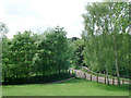
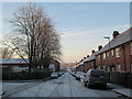
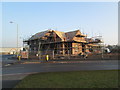
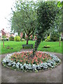
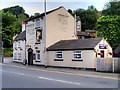
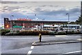
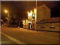
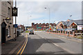
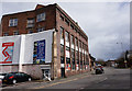
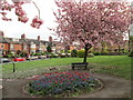
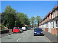
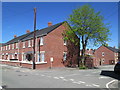
100 photos from this area
Area Information
Key information about the ST13 8DQ including its size, population, and administrative classification.
- Area Type
- Postcode
- Area Size
- 1.8 hectares
- Population
- 1440
- Population Density
- 654 people/km²
House Prices in ST13 8DQ
35
Properties
£150,472
Average Sold Price
£49,000
Lowest Price
£235,000
Highest Price
Showing 35 properties
| Address | Type | Beds | Baths | Last Sale Price | Last Sale Date | |
|---|---|---|---|---|---|---|
| 76 North Street, Leek, ST13 8DQ | Semi-detached | 3 | 1 | £218,000 | Sep 2023 | |
| 40 North Street, Leek, ST13 8DQ | Semi-detached | 3 | 1 | £220,000 | Jul 2023 | |
| 46 North Street, Leek, ST13 8DQ | house | - | - | £170,000 | Aug 2021 | |
| 36 North Street, Leek, ST13 8DQ | Semi-detached | 2 | 1 | £168,500 | Oct 2020 | |
| 66 North Street, Leek, ST13 8DQ | Semi-detached | 2 | 1 | £146,500 | Feb 2020 | |
| 54 North Street, Leek, ST13 8DQ | Semi-detached | 2 | 1 | £120,000 | Dec 2017 | |
| 92 North Street, Leek, ST13 8DQ | Bungalow | 3 | 1 | £200,000 | Nov 2017 | |
| 96 North Street, Leek, ST13 8DQ | Detached | 3 | 1 | £235,000 | Sep 2017 | |
| 38 North Street, Leek, ST13 8DQ | Semi-detached | 3 | 1 | £162,000 | Jul 2017 | |
| 72 North Street, Leek, ST13 8DQ | Semi-detached | 3 | 1 | £164,950 | Apr 2016 |
Page 1 of 4
Energy Efficiency in ST13 8DQ
Amenities
Schools
| Rank | School | Type | Entry gender | Ages |
|---|
Explore more schools in this area
Go to Schools tabDemographics
Household Size
Two person
most common
Accommodation Type
Houses
most common
Tenure
82
majority
Ethnic Group
White
most common
Religion
N/A
most common
Household Composition
N/A
most common
Age
47
median
Adults (30-64 years)
most common
Household Deprivation
N/A
with no deprivation
NS-SEC
33
in Lower managerial occupations
Explore more demographic insights in this area
Go to Demographics tabPlanning
Planning Constraints
- Flood RiskPremium
- Ramsar Wetland SitesPremium
- Area of Outstanding Natural BeautyPremium
- Protected Nature ReservePremium
- Protected WoodlandPremium