Area Overview for ST13 8BP
Photos of ST13 8BP
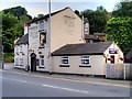
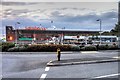
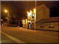
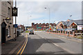
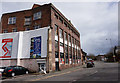
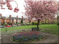
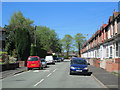
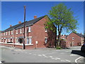
100 photos from this area
Area Information
Key information about the ST13 8BP including its size, population, and administrative classification.
- Area Type
- Postcode
- Area Size
- 1.2 hectares
- Population
- 1994
- Population Density
- 8769 people/km²
House Prices in ST13 8BP
35
Properties
£109,764
Average Sold Price
£61,000
Lowest Price
£190,000
Highest Price
Showing 35 properties
| Address | Type | Beds | Baths | Last Sale Price | Last Sale Date | |
|---|---|---|---|---|---|---|
| 20 Station Street, Leek, ST13 8BP | Semi-detached | 3 | 2 | £190,000 | Feb 2025 | |
| 42 Station Street, Leek, ST13 8BP | Semi-detached | 3 | 2 | £126,000 | Feb 2019 | |
| 24 Station Street, Leek, ST13 8BP | Terraced | 3 | 1 | £136,000 | Feb 2019 | |
| 8 Station Street, Leek, ST13 8BP | Semi-detached | 3 | 1 | £89,000 | Jun 2017 | |
| 10 Station Street, Leek, ST13 8BP | Terraced | 2 | 1 | £116,000 | Apr 2015 | |
| 2 Station Street, Leek, ST13 8BP | house | - | - | £95,000 | Oct 2013 | |
| 22 Station Street, Leek, ST13 8BP | house | 3 | 1 | £102,500 | Mar 2013 | |
| 46 Station Street, Leek, ST13 8BP | house | - | - | £61,000 | Mar 2009 | |
| 6 Station Street, Leek, ST13 8BP | Terraced | - | - | £107,000 | Jan 2006 | |
| 32 Station Street, Leek, ST13 8BP | Terraced | 2 | 1 | £99,950 | May 2005 |
Page 1 of 4
Energy Efficiency in ST13 8BP
Amenities
Schools
| Rank | School | Type | Entry gender | Ages |
|---|
Explore more schools in this area
Go to Schools tabDemographics
Household Size
One person
most common
Accommodation Type
Houses
most common
Tenure
53
majority
Ethnic Group
White
most common
Religion
N/A
most common
Household Composition
N/A
most common
Age
47
median
Adults (30-64 years)
most common
Household Deprivation
N/A
with no deprivation
NS-SEC
26
in Lower managerial occupations
Explore more demographic insights in this area
Go to Demographics tabPlanning
Planning Constraints
- Flood RiskPremium
- Ramsar Wetland SitesPremium
- Area of Outstanding Natural BeautyPremium
- Protected Nature ReservePremium
- Protected WoodlandPremium