Area Overview for ST13 5LP
Photos of ST13 5LP
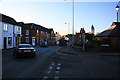
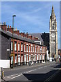
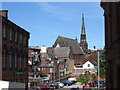
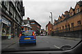
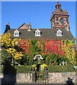
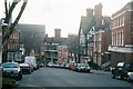
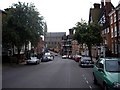
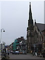
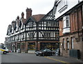
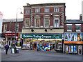
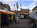
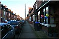
100 photos from this area
Area Information
Key information about the ST13 5LP including its size, population, and administrative classification.
- Area Type
- Postcode
- Area Size
- 3.6 hectares
- Population
- 1775
- Population Density
- 5913 people/km²
House Prices in ST13 5LP
15
Properties
£231,154
Average Sold Price
£86,000
Lowest Price
£420,000
Highest Price
Showing 15 properties
| Address | Type | Beds | Baths | Last Sale Price | Last Sale Date | |
|---|---|---|---|---|---|---|
| 53 Westfields, Leek, ST13 5LP | Terraced | 5 | 1 | £265,000 | Mar 2025 | |
| 26 Westfields, Leek, ST13 5LP | Detached | 4 | 2 | £420,000 | Jun 2024 | |
| Lynwood, 51 Westfields, Leek, ST13 5LP | house | - | - | £370,000 | Aug 2022 | |
| 49 Westfields, Leek, ST13 5LP | Semi-detached | 5 | 3 | £325,000 | Mar 2021 | |
| 63 Westfields, Leek, ST13 5LP | Semi-detached | 4 | 2 | £305,000 | Jul 2019 | |
| 65 Westfields, Leek, ST13 5LP | Semi-detached | 4 | 2 | £240,000 | Nov 2017 | |
| Belmont, 22 Westfields, Leek, ST13 5LP | Semi-detached | 3 | 1 | £230,000 | Aug 2017 | |
| 18 Westfields, Leek, ST13 5LP | Semi-detached | 3 | 1 | £86,000 | Oct 2016 | |
| 24 Westfields, Leek, ST13 5LP | Detached | 3 | - | £195,000 | Feb 2014 | |
| 57 Westfields, Leek, ST13 5LP | Semi-detached | - | - | £235,000 | Jun 2006 |
Page 1 of 2
Energy Efficiency in ST13 5LP
Amenities
Schools
| Rank | School | Type | Entry gender | Ages |
|---|
Explore more schools in this area
Go to Schools tabDemographics
Household Size
One person
most common
Accommodation Type
Houses
most common
Tenure
55
majority
Ethnic Group
White
most common
Religion
N/A
most common
Household Composition
N/A
most common
Age
47
median
Adults (30-64 years)
most common
Household Deprivation
N/A
with no deprivation
NS-SEC
28
in Lower managerial occupations
Explore more demographic insights in this area
Go to Demographics tabPlanning
Planning Constraints
- Flood RiskPremium
- Ramsar Wetland SitesPremium
- Area of Outstanding Natural BeautyPremium
- Protected Nature ReservePremium
- Protected WoodlandPremium