Area Overview for ST10 4BS
Photos of ST10 4BS
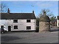
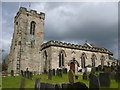
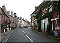
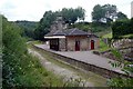
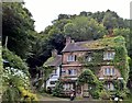
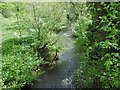
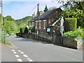
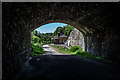
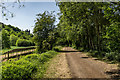
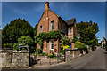
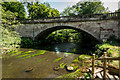
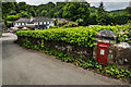
44 photos from this area
Area Information
Key information about the ST10 4BS including its size, population, and administrative classification.
- Area Type
- Postcode
- Area Size
- 1.9 hectares
- Population
- 1356
- Population Density
- 76 people/km²
House Prices in ST10 4BS
10
Properties
£312,083
Average Sold Price
£185,000
Lowest Price
£520,000
Highest Price
Showing 10 properties
| Address | Type | Beds | Baths | Last Sale Price | Last Sale Date | |
|---|---|---|---|---|---|---|
| Yew Tree Cottage, Horse Road, Alton, ST10 4BS | Semi-detached | 2 | 1 | £263,000 | Nov 2024 | |
| Chestnut Cottage, Horse Road, Alton, ST10 4BS | Terraced | - | - | £259,500 | Feb 2021 | |
| Smithy Cottage, Horse Road, Alton, ST10 4BS | house | - | - | £270,000 | Apr 2020 | |
| Corner Cottage, Horse Road, Alton, ST10 4BS | Detached | 4 | 1 | £375,000 | Dec 2019 | |
| Wild Rock, Horse Road, Alton, ST10 4BS | Terraced | - | - | £520,000 | Apr 2019 | |
| West View, Horse Road, Alton, ST10 4BS | house | 4 | - | £185,000 | Jun 2013 | |
| 29 Horse Road, Alton, ST10 4BS | Cottage | 2 | - | - | - | |
| Hillside Lodge, Horse Road, Alton, ST10 4BS | Detached | - | - | - | - | |
| 31 Horse Road, Alton, ST10 4BS | Cottage | 2 | 2 | - | - | |
| Glenrock House, Horse Road, Alton, ST10 4BS | house | - | - | - | - |
Energy Efficiency in ST10 4BS
Amenities
Schools
| Rank | School | Type | Entry gender | Ages |
|---|
Explore more schools in this area
Go to Schools tabDemographics
Household Size
Two person
most common
Accommodation Type
Houses
most common
Tenure
83
majority
Ethnic Group
White
most common
Religion
N/A
most common
Household Composition
N/A
most common
Age
47
median
Adults (30-64 years)
most common
Household Deprivation
N/A
with no deprivation
NS-SEC
41
in Lower managerial occupations
Explore more demographic insights in this area
Go to Demographics tabPlanning
Planning Constraints
- Flood RiskPremium
- Ramsar Wetland SitesPremium
- Area of Outstanding Natural BeautyPremium
- Protected Nature ReservePremium
- Protected WoodlandPremium