Area Overview for ST10 3DN
Photos of ST10 3DN
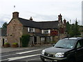
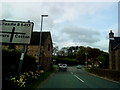

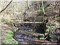
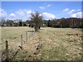
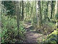
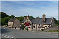
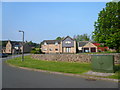
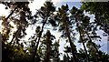
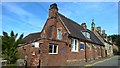
11 photos from this area
Area Information
Key information about the ST10 3DN including its size, population, and administrative classification.
- Area Type
- Postcode
- Area Size
- 25.4 hectares
- Population
- 1694
- Population Density
- 74 people/km²
House Prices in ST10 3DN
18
Properties
£209,279
Average Sold Price
£36,000
Lowest Price
£480,000
Highest Price
Showing 18 properties
| Address | Type | Beds | Baths | Last Sale Price | Last Sale Date | |
|---|---|---|---|---|---|---|
| Aldercarr, Cotton Lane, Cotton, ST10 3DN | Detached | 3 | 2 | £480,000 | Jul 2017 | |
| Glenwood, Cotton Lane, Cotton, ST10 3DN | Bungalow | - | - | £217,000 | Jul 2015 | |
| Sawrey Lodge, Cotton Lane, Cotton, ST10 3DN | house | 5 | - | £345,000 | Dec 2012 | |
| Stella Maris, Cotton Lane, Cotton, ST10 3DN | Detached | 5 | 3 | £200,000 | Mar 2006 | |
| 2, St Teresa Cottages, Cotton Lane, Cotton, ST10 3DN | house | - | - | £76,950 | May 2001 | |
| Belvedere, Cotton Lane, Cotton, ST10 3DN | Detached | - | - | £110,000 | Nov 2000 | |
| 1, St Teresa Cottages, Cotton Lane, Cotton, ST10 3DN | house | - | - | £36,000 | Oct 1997 | |
| 1, Kendal Cottages, Cotton Lane, Cotton, ST10 3DN | Semi-detached | 3 | 1 | - | - | |
| 3, Annexe At, Faber Cottages, Cotton Lane, Cotton, ST10 3DN | Detached | - | - | - | - | |
| 2, Kendal Cottages, Cotton Lane, Cotton, ST10 3DN | Semi-detached | - | - | - | - |
Page 1 of 2
Energy Efficiency in ST10 3DN
Amenities
Schools
| Rank | School | Type | Entry gender | Ages |
|---|
Explore more schools in this area
Go to Schools tabDemographics
Household Size
Two person
most common
Accommodation Type
Houses
most common
Tenure
80
majority
Ethnic Group
White
most common
Religion
N/A
most common
Household Composition
N/A
most common
Age
47
median
Adults (30-64 years)
most common
Household Deprivation
N/A
with no deprivation
NS-SEC
33
in Lower managerial occupations
Explore more demographic insights in this area
Go to Demographics tabPlanning
Planning Constraints
- Flood RiskPremium
- Ramsar Wetland SitesPremium
- Area of Outstanding Natural BeautyPremium
- Protected Nature ReservePremium
- Protected WoodlandPremium