Area Overview for ST10 2BQ
Photos of ST10 2BQ


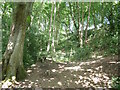
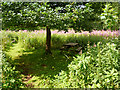
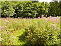

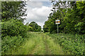
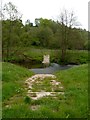
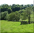
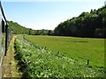
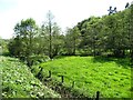
18 photos from this area
Area Information
Key information about the ST10 2BQ including its size, population, and administrative classification.
- Area Type
- Postcode
- Area Size
- 55.3 hectares
- Population
- 1694
- Population Density
- 74 people/km²
House Prices in ST10 2BQ
94
Properties
£159,120
Average Sold Price
£13,167
Lowest Price
£357,000
Highest Price
Showing 94 properties
| Address | Type | Beds | Baths | Last Sale Price | Last Sale Date | |
|---|---|---|---|---|---|---|
| 124 Churnet Valley Road, Kingsley Holt, ST10 2BQ | Detached | 3 | 1 | £231,500 | Dec 2025 | |
| Fairholme, 71 Churnet Valley Road, Kingsley Holt, ST10 2BQ | Semi-detached | 3 | 1 | £237,000 | Nov 2025 | |
| 57 Churnet Valley Road, Kingsley Holt, ST10 2BQ | house | - | - | £180,000 | Nov 2024 | |
| The Croft, 94 Churnet Valley Road, Kingsley Holt, ST10 2BQ | Detached | 3 | 2 | £290,000 | Oct 2024 | |
| 3 Churnet Valley Road, Kingsley Holt, ST10 2BQ | house | 4 | 2 | £357,000 | Nov 2023 | |
| 128 Churnet Valley Road, Kingsley Holt, ST10 2BQ | Detached | - | - | £260,000 | Nov 2021 | |
| 23 Churnet Valley Road, Kingsley Holt, ST10 2BQ | house | - | - | £345,000 | Sep 2021 | |
| 48 Churnet Valley Road, Kingsley Holt, ST10 2BQ | house | - | - | £285,000 | Jun 2021 | |
| 40 Churnet Valley Road, Kingsley Holt, ST10 2BQ | house | - | - | £180,000 | Jun 2021 | |
| 122 Churnet Valley Road, Kingsley Holt, ST10 2BQ | house | - | - | £240,000 | Dec 2020 |
Page 1 of 10
Energy Efficiency in ST10 2BQ
Amenities
Schools
| Rank | School | Type | Entry gender | Ages |
|---|
Explore more schools in this area
Go to Schools tabDemographics
Household Size
Two person
most common
Accommodation Type
Houses
most common
Tenure
80
majority
Ethnic Group
White
most common
Religion
N/A
most common
Household Composition
N/A
most common
Age
47
median
Adults (30-64 years)
most common
Household Deprivation
N/A
with no deprivation
NS-SEC
33
in Lower managerial occupations
Explore more demographic insights in this area
Go to Demographics tabPlanning
Planning Constraints
- Flood RiskPremium
- Ramsar Wetland SitesPremium
- Area of Outstanding Natural BeautyPremium
- Protected Nature ReservePremium
- Protected WoodlandPremium