Area Overview for Sambourne
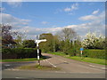
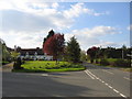
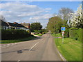
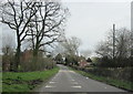
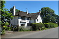
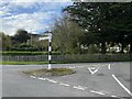
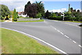
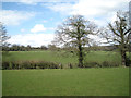
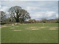
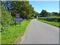
Photos of Sambourne
Area Information
Sambourne is a compact built-up area spanning 32.8 hectares, situated in England. Its population reflects a median age of 70, suggesting a community skewed towards older residents. This demographic profile shapes daily life, with a focus on established routines and local amenities. The area’s small size fosters a sense of familiarity, though its character is defined by practicality rather than grandeur. Residents benefit from proximity to retail and transport hubs, including Morrisons, Co-op, and Aldi, alongside four railway stations within practical reach. While Sambourne lacks the vibrancy of larger towns, its straightforward infrastructure caters to those prioritising convenience over novelty. The 80% home ownership rate indicates a stable, long-term resident base, with properties likely reflecting the needs of an aging population. For buyers, Sambourne offers a straightforward, low-key lifestyle with minimal frills, ideal for those seeking simplicity in a quiet, established setting.
- Area Type
- Built Up Area 250
- Area Size
- 32.8 hectares
- Population
- Not available
- Population Density
- Not available
Sambourne’s lifestyle is shaped by its proximity to essential amenities, including five retail outlets such as Morrisons, Co-op Studley, and Aldi Studley. These shops provide access to daily necessities, though the area lacks larger supermarkets or specialty stores. The four nearby railway stations enhance mobility, linking residents to broader regional networks. While the data does not mention parks or leisure facilities, the presence of retail and transport options suggests a practical, no-frills approach to daily living. The area’s character is defined by convenience rather than luxury, with a focus on meeting basic needs. For those prioritising accessibility and straightforward living, Sambourne offers a functional environment, though it may not appeal to those seeking vibrant cultural or recreational opportunities.
Amenities
Schools
| Rank | A + A* % | School | Type | Entry gender | Ages |
|---|
Explore more schools in this area
Go to Schools tabDemographics
Sambourne’s population has a median age of 70, placing it well above the national average. This suggests a community predominantly composed of retirees or long-term residents, with the most common age range encompassing all demographics. Home ownership is high at 80%, indicating a stable, owner-occupied market with fewer rental properties. The data does not specify household composition or accommodation types, but the overall figures imply a population that values security and permanence. The absence of detailed breakdowns on ethnicity or religion means the area’s cultural and social diversity remains unspecified. For prospective buyers, the age profile and home ownership rate suggest a mature, settled community, though the lack of specific data on household structures or diversity means assumptions about family dynamics or inclusivity cannot be made.
Household Size
Accommodation Type
Tenure
Ethnic Group
Religion
Household Composition
Age
Household Deprivation
NS-SEC
Explore more demographic insights in this area
Go to Demographics tabPlanning
Planning Constraints
- Crime RiskLocked